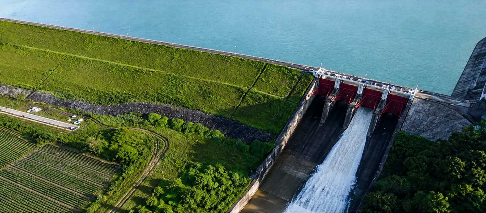
TOPOGRAPHIC SURVEYS
- Onshore topographic surveys.
- UAV and LiDAR topographic surveys.
- Engineering surveying.
- Topographic and cadastral mapping.

ENGINEERING SURVEYING AND INFRASTRUCTURE DATA
Engineering surveys and site investigations are a core capability of PSC. Building on more than four decades of experience, PSC has contributed to over 1,000 projects across Vietnam.
PSC serves as a long-term technical partner, providing accurate, consistent, and reliable data for project planning and preparation, design, construction, construction acceptance, operation, upgrading, and repair.
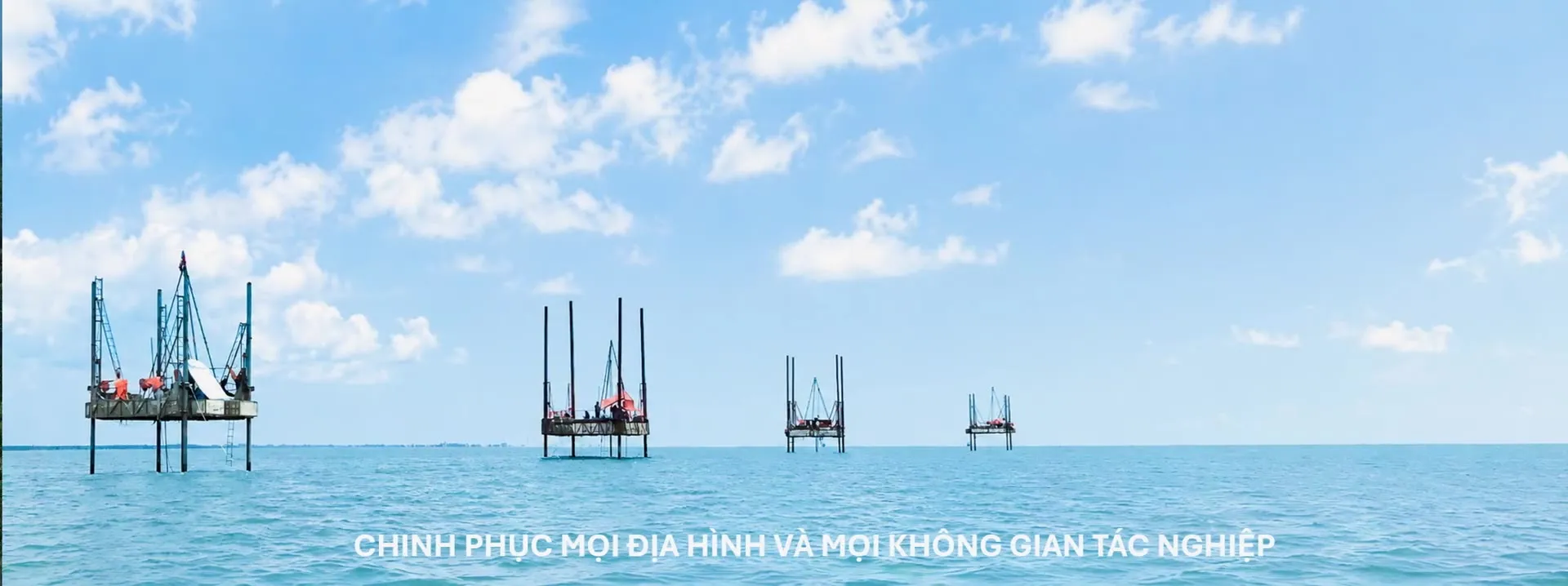
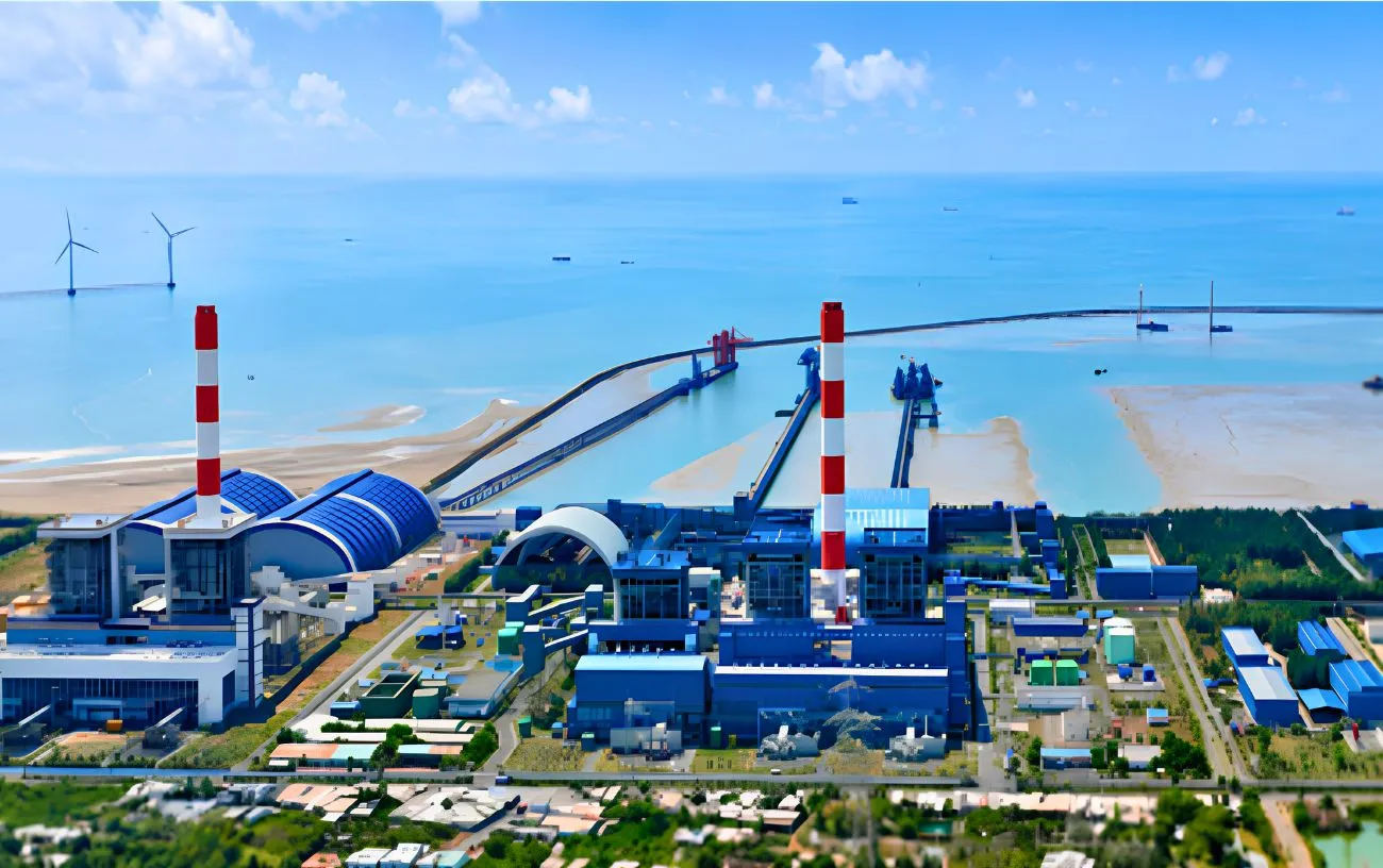
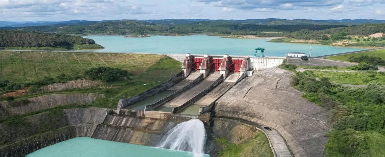
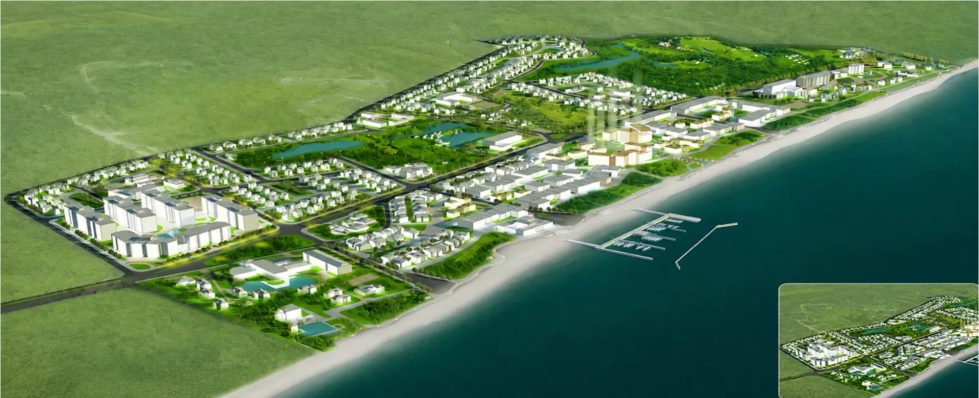
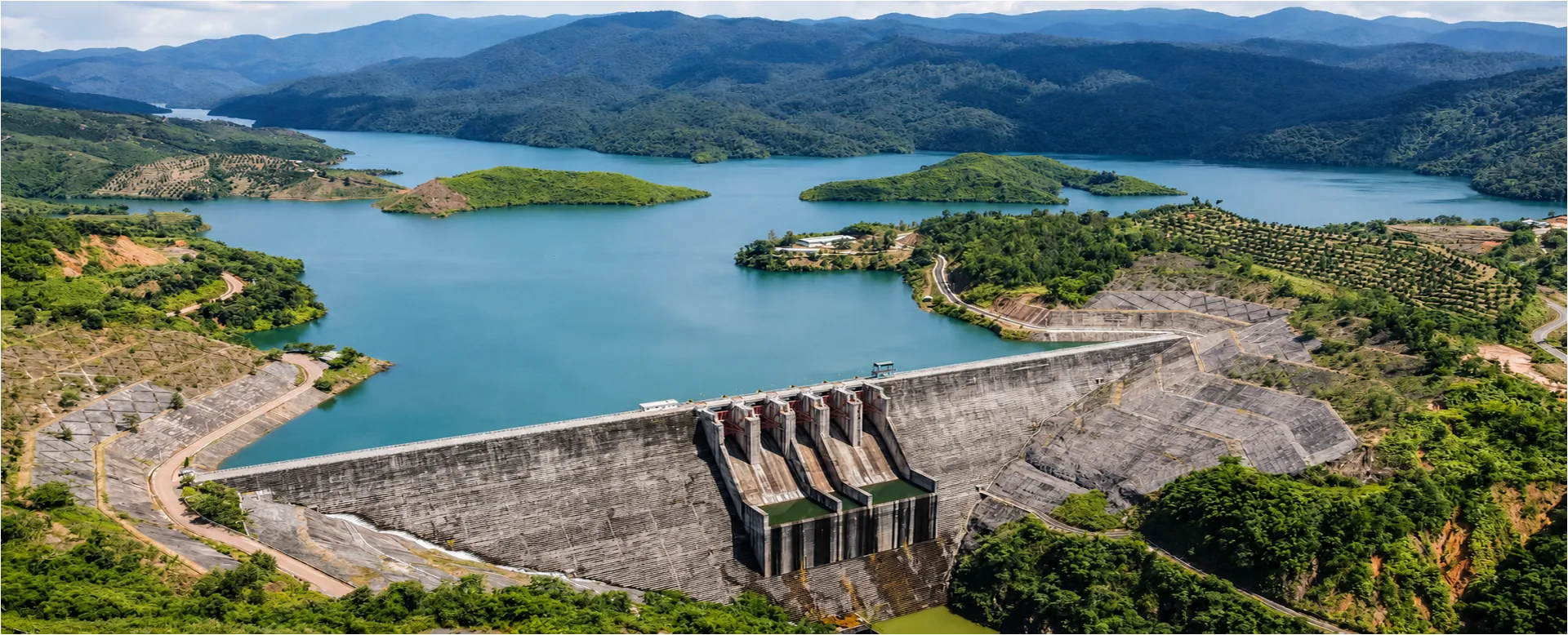
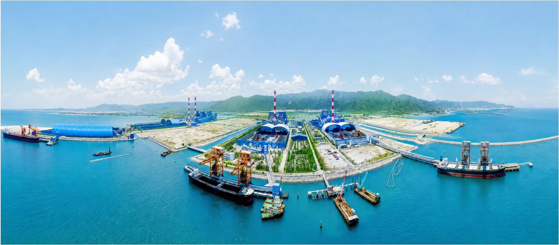
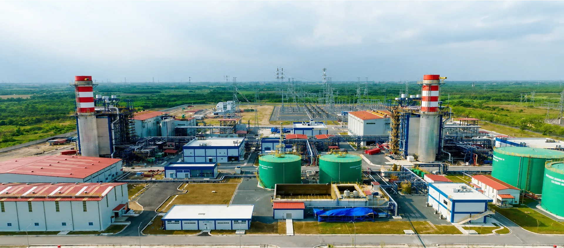
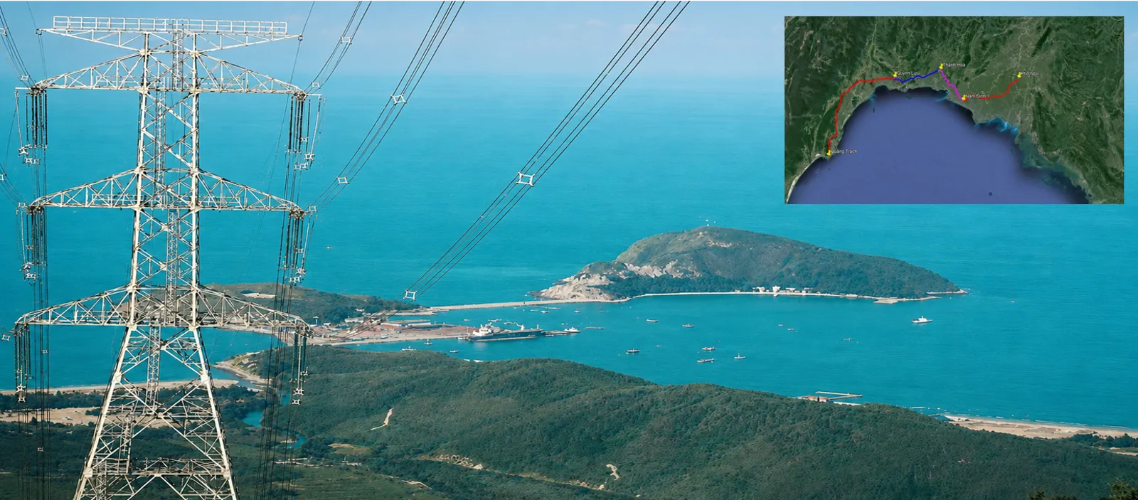
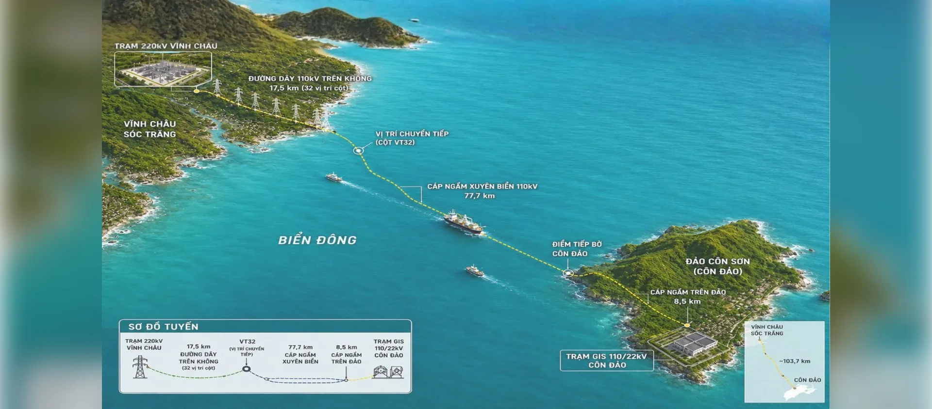
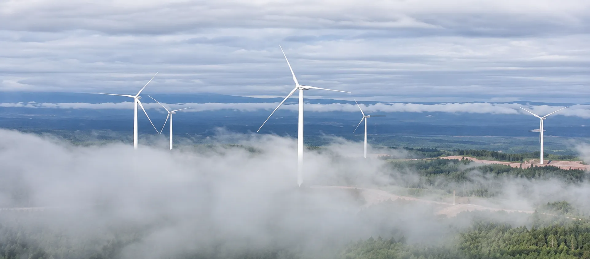
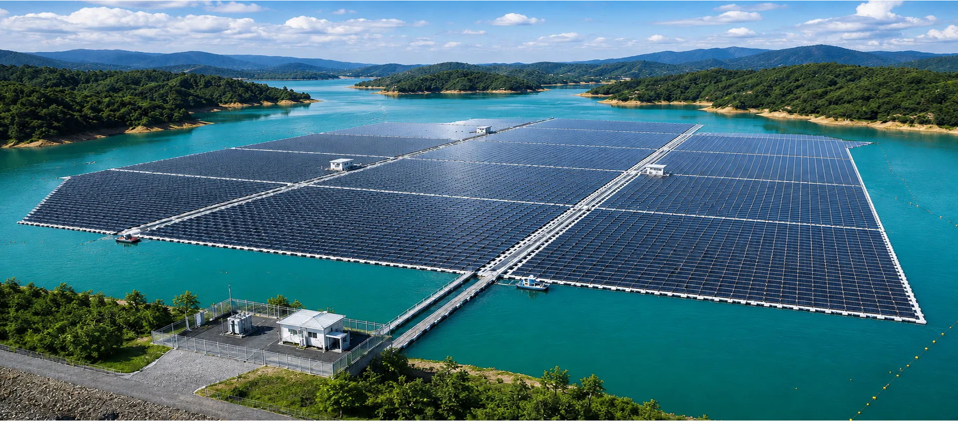
With an experienced engineering team, specialised equipment, modern technologies, and the ability to work across diverse terrains, PSC undertakes surveys and investigations for energy facilities, power transmission and distribution networks, industrial facilities, transportation infrastructure, urban developments, and technical infrastructure. Its field operations span plains, mountainous areas, inundated areas, rivers, lakes, estuaries, coastal areas, and offshore environments.
Survey and investigation data are systematically collected, analysed, and archived to support successive stages of project development. This structured data foundation can support digitalisation, AI applications, and the integration of advanced technologies, contributing to more efficient infrastructure design, construction, operation, and management.
PSC’s survey and investigation data help characterise natural conditions and existing site conditions, enabling early identification of potential risks associated with terrain, geology, hydrology, and foundations. These findings provide project owners and engineering consultants with a sound technical basis for selecting suitable design options, optimising engineering solutions, controlling costs, and improving safety at each stage of a project.
PSC IS COMMITTED TO LONG-TERM PARTNERSHIPS WITH INFRASTRUCTURE PROJECTS, BUILT ON RESPONSIBILITY AND DISCIPLINE.
Unable to load video.

ENGINEERING SURVEYING AND INFRASTRUCTURE DATA
PIONEERING – STRATEGICALLY IMPORTANT – TECHNICALLY DEMANDING – LARGE-SCALE – COMPLEX FIELD CONDITIONS
DENSE FORESTS – HIGH MOUNTAINS – PLAINS – SOFT GROUND – ABOVE GROUND – BELOW GROUND – ABOVE WATER – BELOW WATER – DENSELY BUILT URBAN AREAS
In challenging terrain and specialized environments, modern equipment and technology provide an important foundation, but they are not the only factors determining project execution efficiency. In remote, rugged or inaccessible areas where large-scale machinery cannot be deployed, PSC’s local knowledge, practical experience and the ingenuity of its teams become distinct advantages.
Through flexible field operations, tailored technical approaches and the effective mobilization of appropriate resources, PSC consistently develops feasible, efficient and safe solutions for every assignment.
This capability has been cultivated and passed down through generations, including periods when Vietnam faced significant challenges and equipment was rudimentary. Even under such conditions, PSC’s people continued to innovate and find ways to fulfill their missions. This enduring ability to adapt and innovate is one of PSC’s distinctive competitive strengths.
PSC has the capability to organize, integrate and mobilize personnel, experts, technologies, equipment and suitable partners in a coordinated manner, tailored to the scale, schedule and complexity of each project.
Terrain detailsRELIABLE DATA – FIT-FOR-PURPOSE SOLUTIONS – RESPONSIBLE PARTNERSHIP
At the project inception stage, PSC supports the collection and development of baseline databases covering topography, geology, hydrology, oceanography, existing infrastructure conditions, site accessibility and other relevant natural factors.
These data support opportunity identification, site screening, comparison of potential locations and preliminary assessment of project development conditions.
PSC SERVICES
Value deliveredProvides a systematic baseline database that enables project owners to identify potential adverse conditions at an early stage and define the scope of subsequent investigations.
SELECTED PROJECTS
PIONEERING – STRATEGICALLY IMPORTANT – TECHNICALLY DEMANDING – LARGE-SCALE – COMPLEX OPERATING CONDITIONS


01 / 15 · FUTURE ENERGY
LARGE-SCALE UNDERGROUND WORKS – HIGH HYDRAULIC HEAD
FAQ
Engineering Surveys & Infrastructure Data
PSC carries out topographic, geological, geophysical, hydrological and oceanographic, marine, underground works and meteorological surveys, as well as surveying and data digitisation.
PSC data supports planning, studies, design, construction, construction acceptance, operation, upgrading and repair. Data is collected, analysed and archived for each project so it can be used throughout the project life cycle.
PSC surveys energy facilities, power transmission and distribution networks, industrial facilities, transportation infrastructure, urban developments and technical infrastructure.
Yes. PSC works across plains, mountainous areas, inundated areas, rivers, lakes, estuaries, coastal areas and offshore environments, with an experienced engineering team and specialised equipment.
PSC was founded in 1981 and has more than four decades of engineering survey experience, contributing to over 1,000 projects across Vietnam.
SERVICES DEDICATED TO ENSURING EFFICIENT, SUSTAINABLE AND SAFE INFRASTRUCTURE OPERATIONS
In-situ testing, laboratory testing, quality inspection and structural monitoring.
Read moreSpecialized engineering consultancy and supervision services in surveying, geotechnical engineering and infrastructure.
Read moreGeotechnical works and foundation treatment and reinforcement solutions tailored to site-specific geological conditions.
Read more