
ISO 9001:2015 – QUALITY MANAGEMENT SYSTEM
View larger
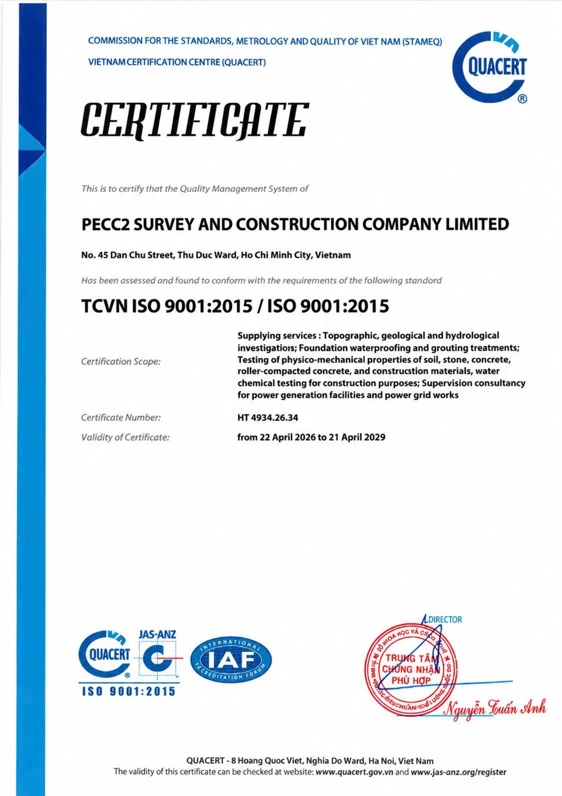
CERTIFICATE NUMBER: HT 4934.26.34
Validity: from 22 April 2026 to 21 April 2029
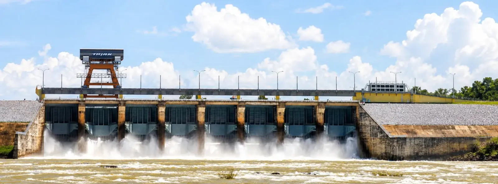
Tri An Hydropower Plant
INTEGRATED – COMPREHENSIVE – FLEXIBLE – DELIVERING
QUALITY AND SCHEDULE COMMITMENTS – READY FOR EVERY ENGINEERING CHALLENGE
QUALITY, OCCUPATIONAL HEALTH, SAFETY AND ENVIRONMENTAL MANAGEMENT CAPABILITIES
View larger
CERTIFICATE NUMBER: HT 4934.26.34
Validity: from 22 April 2026 to 21 April 2029
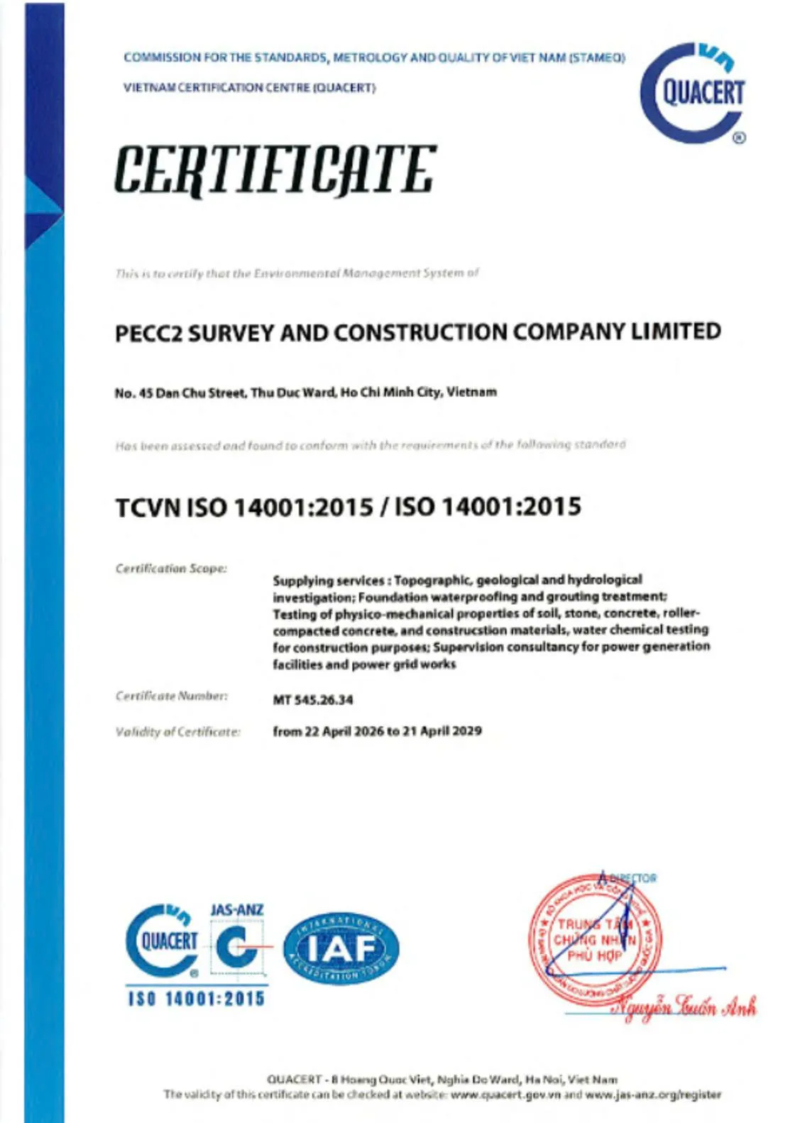
View larger
CERTIFICATE NUMBER: MT 545.26.34
Validity: from 22 April 2026 to 21 April 2029
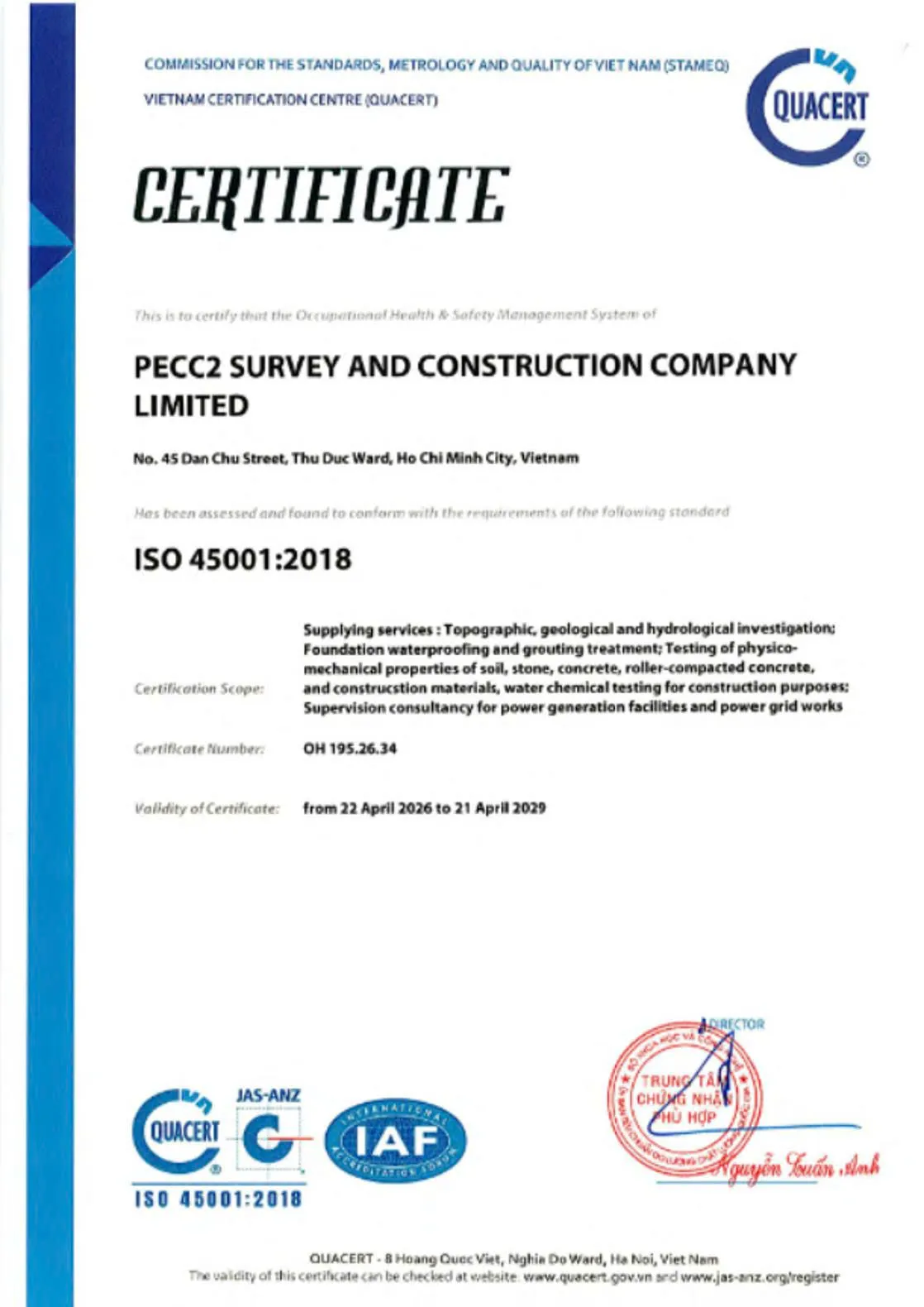
View larger
CERTIFICATE NUMBER: OH 195.26.34
Validity: from 22 April 2026 to 21 April 2029
CAPABILITY TO COMPLY WITH HOST COUNTRY LAWS AND ENSURE DATA CONFIDENTIALITY IN ACCORDANCE WITH CLIENT REQUIREMENTS
Given the nature of its work in surveying, testing, monitoring, geotechnical engineering and supervision consultancy, PSC manages legal requirements throughout all stages, from preparation and field operations to data processing, storage and handover.
In Vietnam, PSC coordinates with project owners, local authorities and relevant government agencies to complete the necessary procedures concerning survey scope, site access rights, surveying and mapping, UAV use, occupational safety, environmental protection, land, existing structures and site security. Professional activities are carried out within the approved scope and in accordance with contractual conditions and applicable laws.
For international projects, PSC complies with host-country laws, relevant international treaties to which both Vietnam and the host country are parties, and the requirements of project owners, international consultants and project contracts. Before mobilization, requirements concerning permits, personnel, equipment, entry into the country, employment, taxation, safety, environmental protection and data transfer are reviewed for each specific location.

PIONEERING – STRATEGICALLY IMPORTANT – TECHNICALLY DEMANDING – LARGE-SCALE – COMPLEX FIELD CONDITIONS
INTEGRATED SOLUTIONS – COMPREHENSIVE SERVICES – RESPONSIBLE PARTNERSHIP
At the project inception stage, PSC supports the collection and development of baseline databases covering topography, geology, hydrology, oceanography, existing infrastructure conditions, site accessibility and other relevant natural factors.
These data support opportunity identification, site screening, comparison of potential locations and preliminary assessment of project development conditions.
PSC SERVICES
Value deliveredProvides a systematic baseline database that enables project owners to identify potential adverse conditions at an early stage and define the scope of subsequent investigations.
SELECTED PROJECTS
TRUTHFUL DATA – OBJECTIVE ASSESSMENT – EVIDENCE-BASED DECISIONS
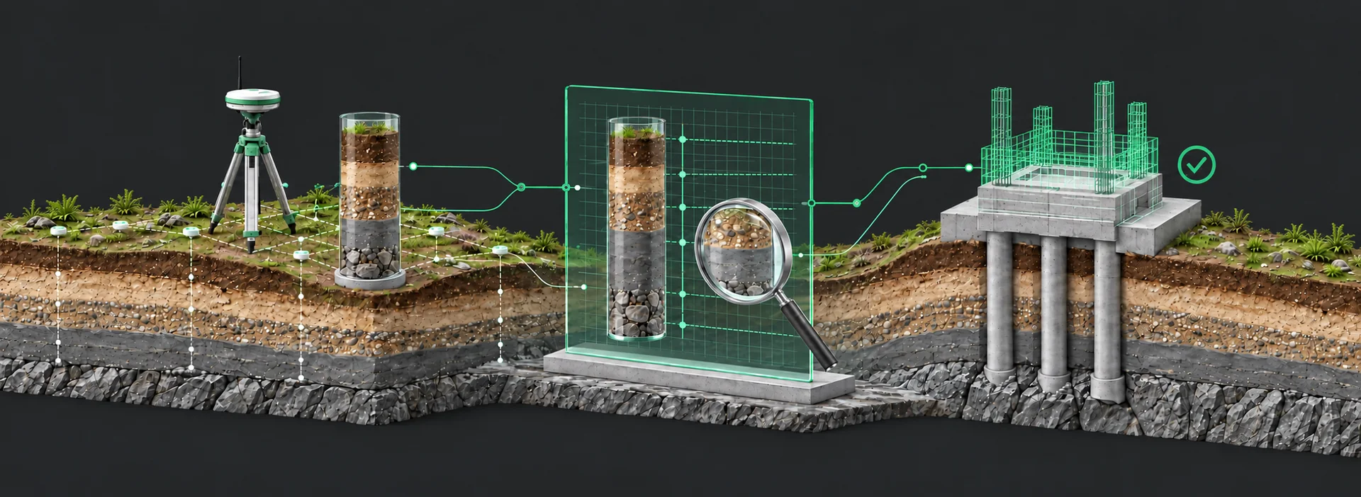
PSC considers truthful, objective data the foundation of every technical decision. All survey, testing, inspection and monitoring results must accurately reflect actual site and asset conditions, without being altered to suit assumptions, expectations or subjective interests.
01
From collection, checking and processing through to technical review and release, data are controlled through established procedures to ensure accuracy, consistency and traceability. When discrepancies or adverse conditions are identified, PSC reports them honestly, assesses their causes and provides recommendations based on technical evidence.
02
This commitment helps PSC safeguard the accuracy, objectivity and reliability of technical records throughout the asset lifecycle. Truthful, verifiable and traceable data enable early identification of adverse conditions and discrepancies, help control technical risks, and reduce additional costs and delays.
03
On this basis, PSC provides data that help project owners, consultants and relevant stakeholders make appropriate technical decisions on design, construction, acceptance and operation, contributing to improved safety, investment efficiency and long-term asset reliability.
Vietnam stretches more than 1,600 km from north to south, with highly varied topography and an exceptionally wide range of complex natural conditions. Across the country, nearly every type of operating environment can be found: high mountains, plateaus, midlands, plains, densely populated urban areas, rivers, lakes, estuaries, coastal zones, islands and offshore areas. Mountainous terrain accounts for a large proportion of the country’s land area. Central Vietnam is narrow, with steep terrain and mountains close to the coast, while the two major deltas feature low-lying terrain, weak ground conditions and dense river networks. Each region presents distinct requirements for survey planning, technology selection, equipment mobilization, safety assurance and data quality control.
Vietnam’s geological conditions are equally diverse. They include bedrock and deeply dissected terrain in mountainous areas; soft soils, young sediments and settlement-prone ground in the deltas; heterogeneous geology in transitional zones; erosion, sedimentation and tidal influences in estuaries and coastal areas; as well as specialized requirements for offshore, island and densely built-up urban projects.
For over 40 years, PSC has operated across Vietnam, progressively developing the capability to work in almost all of the country’s characteristic terrain types, geological conditions and operating environments. PSC’s footprint extends from mountainous regions, remote forests and plateaus to plains, urban areas, rivers, lakes, coastal zones, islands and offshore locations.
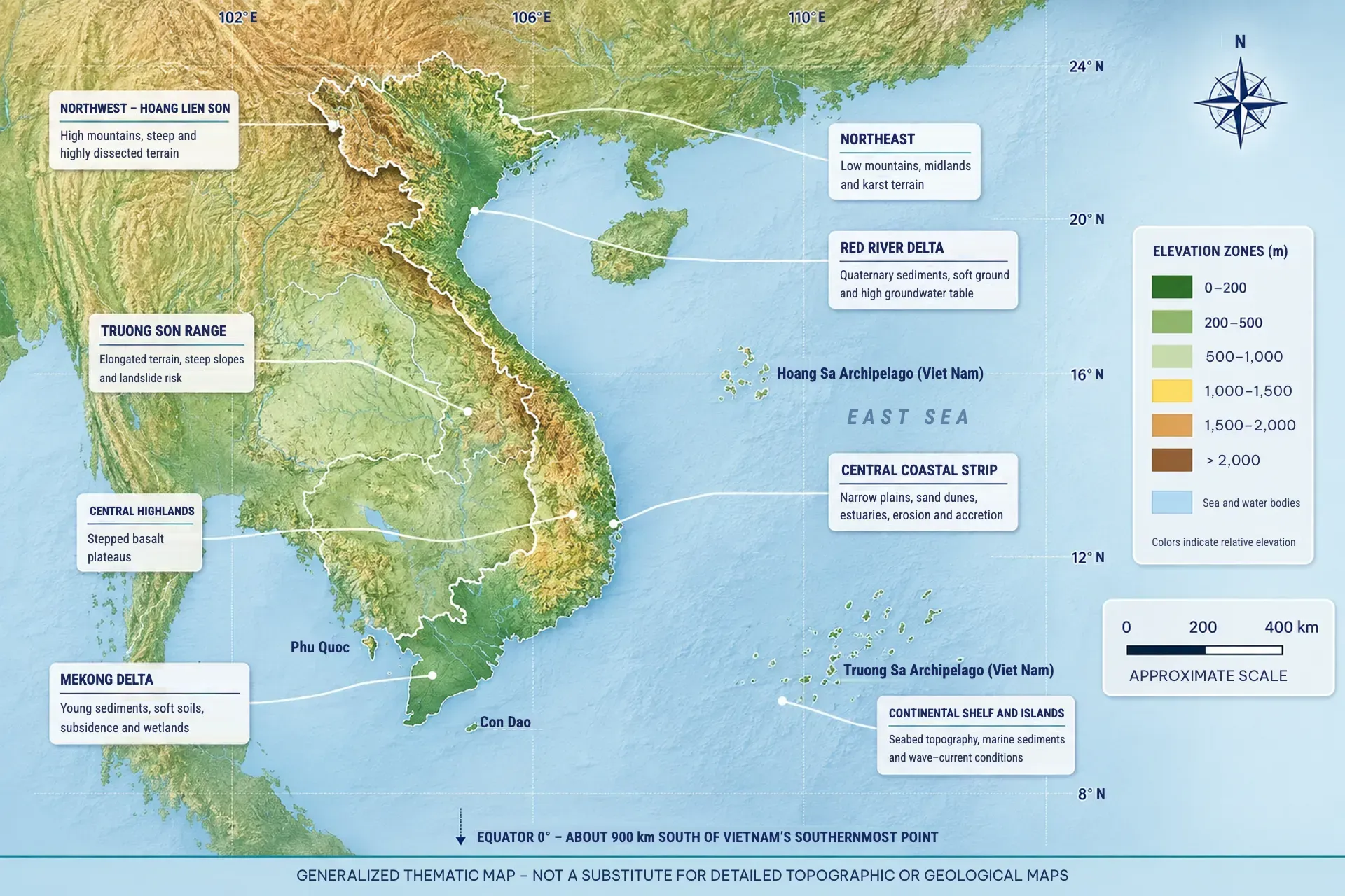
The map illustrates how a single project in Vietnam may involve multiple and varied operating conditions, requiring PSC to equip itself with the optimal resources and capabilities for diverse terrains to overcome every engineering challenge.
The map illustrates Vietnam’s highly diverse and varied topography, which changes continuously along the north–south axis, while highlighting the close interconnections between mountains, plateaus, plains, river systems and the sea.
High mountains and dense forests
Difficult access, steep slopes and landslide risks
Plateaus, midlands and low hills
Stepped terrain, weathered rock and variable geological conditions
Rivers and reservoirs
Currents, fluctuating water levels, above-water and underwater surveys
Plains with soft soils
Low bearing capacity, significant settlement and high groundwater levels
Central coastal region
Mountains close to the sea, narrow plains and erosion risks
Estuaries, coastal areas and alluvial flats
Sedimentation, tides and soft sedimentary ground
Densely populated urban areas
Limited working space, underground infrastructure and existing structures
Islands and offshore areas
Waves and wind, marine positioning, logistics and equipment transport
PSC’s capabilities are demonstrated not only by the number of projects it has participated in, but also by its ability to adapt to diverse natural conditions; coordinate multiple work fronts simultaneously; mobilize the appropriate personnel, experts, technologies and equipment; and maintain consistent control of coordinate systems, elevation references, standards and data quality across the entire project.
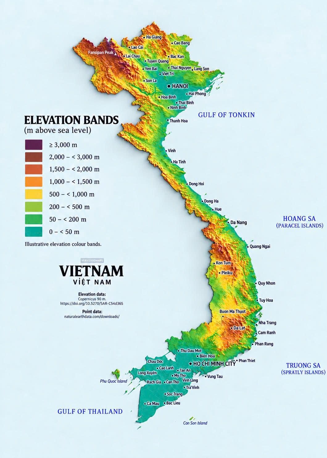
DIVERSE TERRAIN – COMPLEX GEOLOGICAL CONDITIONS – CHALLENGING FIELDWORK ENVIRONMENTS
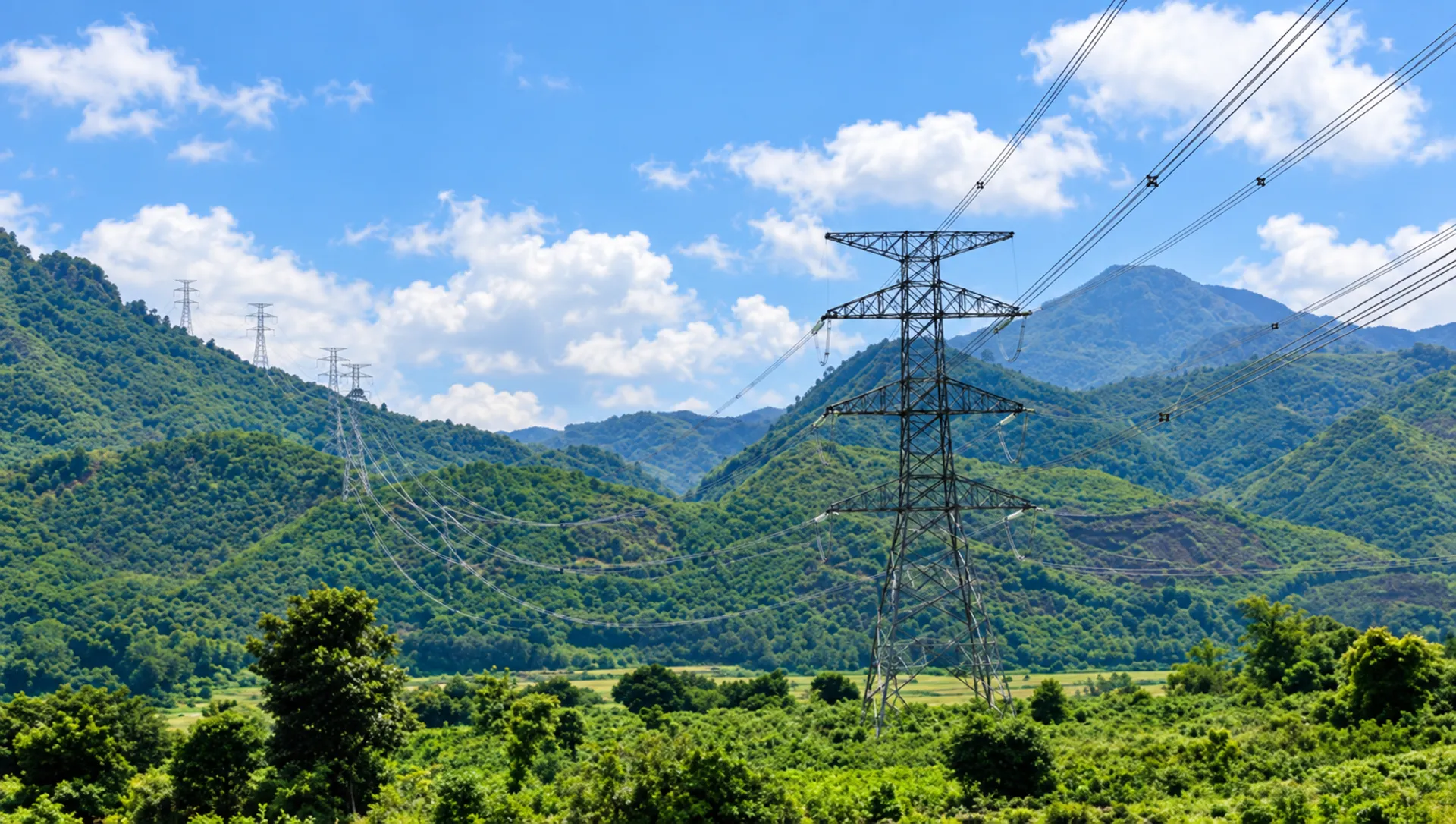
Mountainous terrain covers much of Vietnam, extending from the northern regions through the Truong Son Range to the Central Highlands. These areas are typically characterized by highly dissected terrain, steep slopes, difficult access, variable weather conditions and potential risks of landslides, rockfalls and erosion.
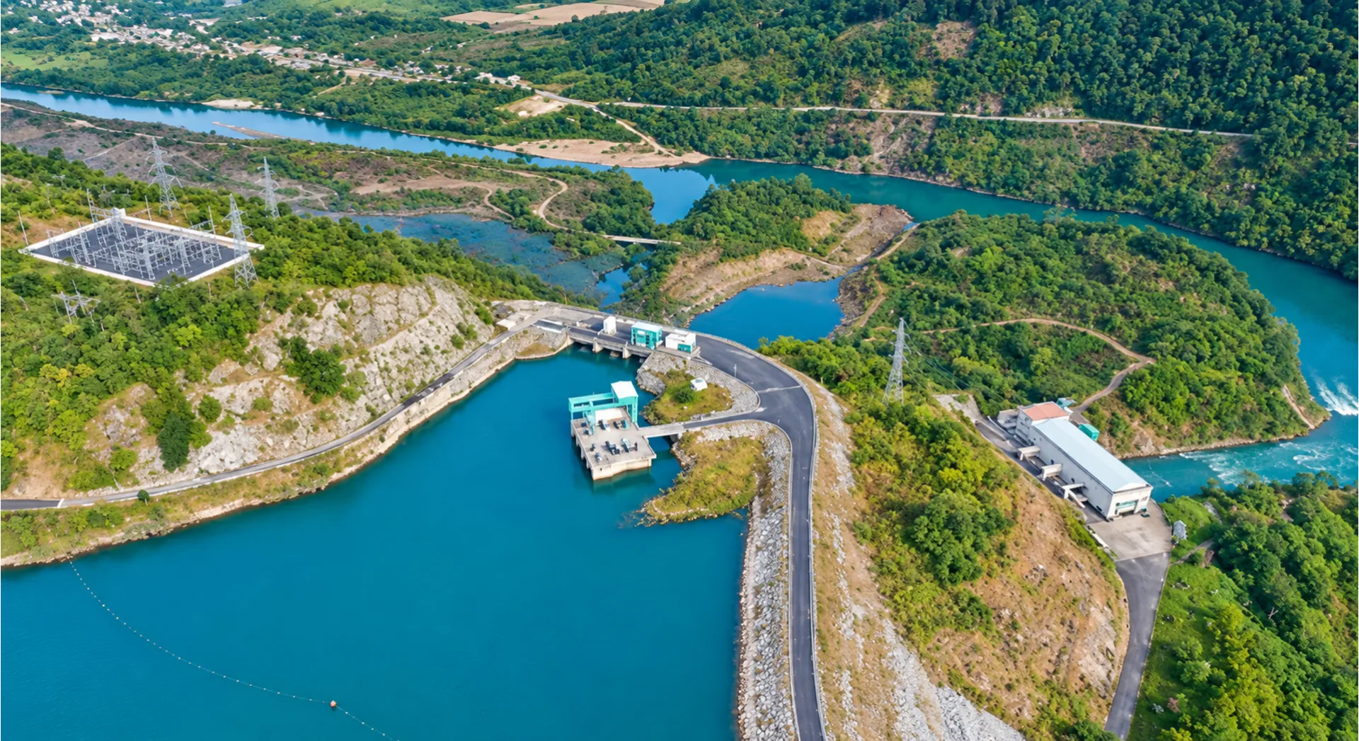
A dense river network, together with numerous natural lakes and reservoirs, creates areas with variable riverbed and lakebed topography, complex flow patterns and seasonal water level fluctuations. Many projects require coordinated surveys on land, at the water surface and underwater across different months of the year.
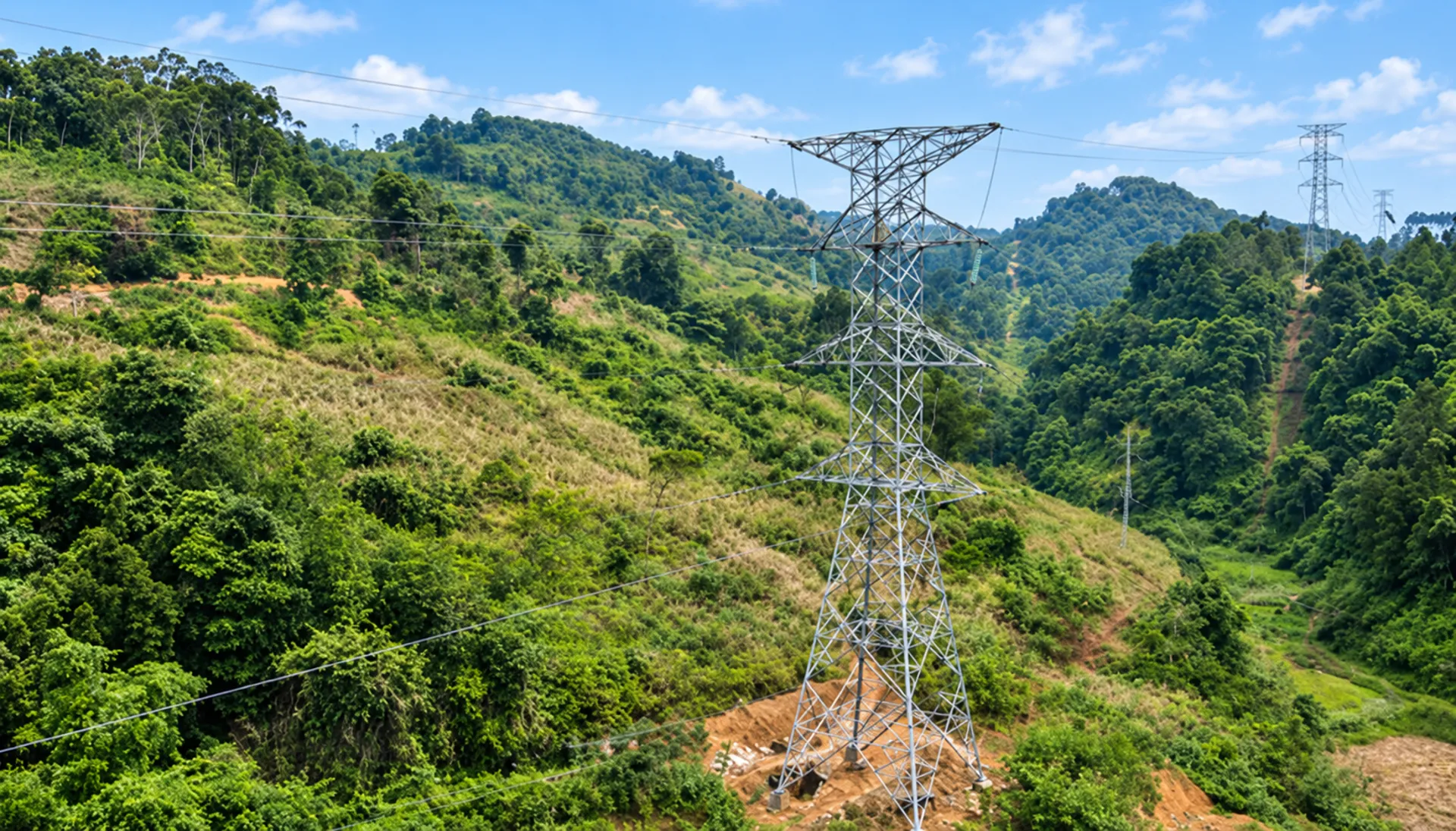
These areas feature stepped and undulating terrain with varying slopes, forming a transition between plains and mountainous regions. Ground conditions often exhibit uneven weathering, faulting and rapid variations over short distances. The risk of slope instability places greater demands on engineering geological investigations.
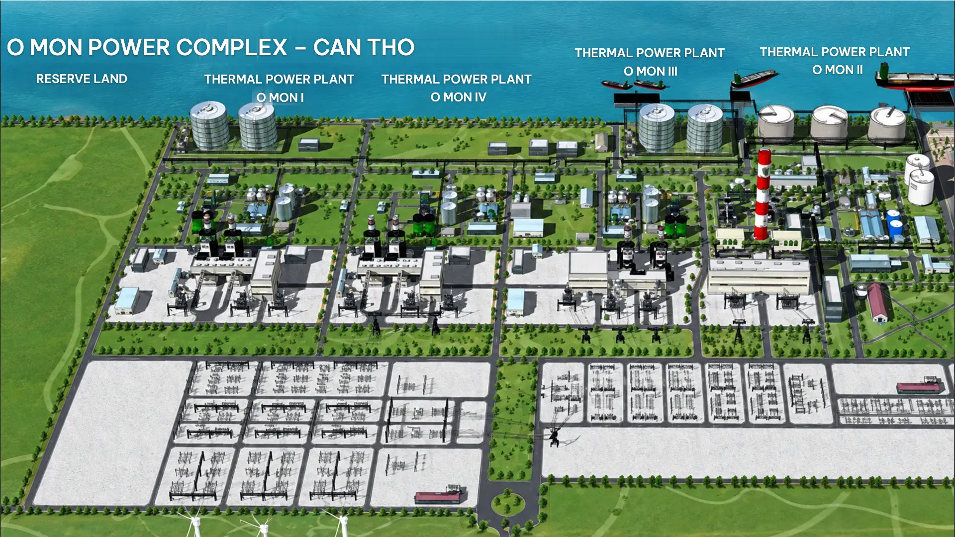
The Red River Delta and the Mekong Delta are low-lying and relatively flat, but ground conditions are often complex. Layers of mud, soft clay or recent sediments have low bearing capacity, high settlement potential and variable thickness, alongside high groundwater levels and saline inundation.
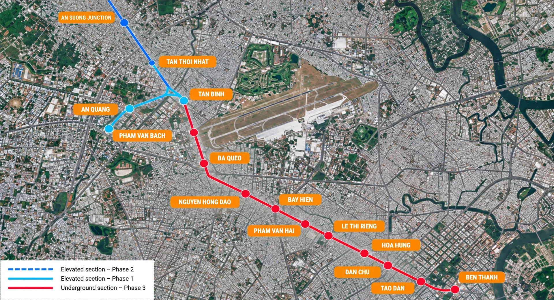
Major cities have dense concentrations of buildings, traffic, utility infrastructure and underground structures. Surveying or construction must be carried out in confined spaces, close to existing structures, and sometimes within facilities that remain in operation.
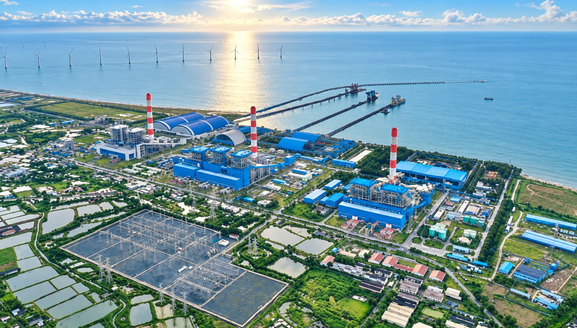
Vietnam has a long coastline with numerous estuaries, lagoons and tidal flats. The terrain continually changes under the influence of waves, wind, tides, currents and sedimentation–erosion processes. Coastal ground is often soft and weak, with chemically aggressive conditions, while construction activities depend heavily on the weather.
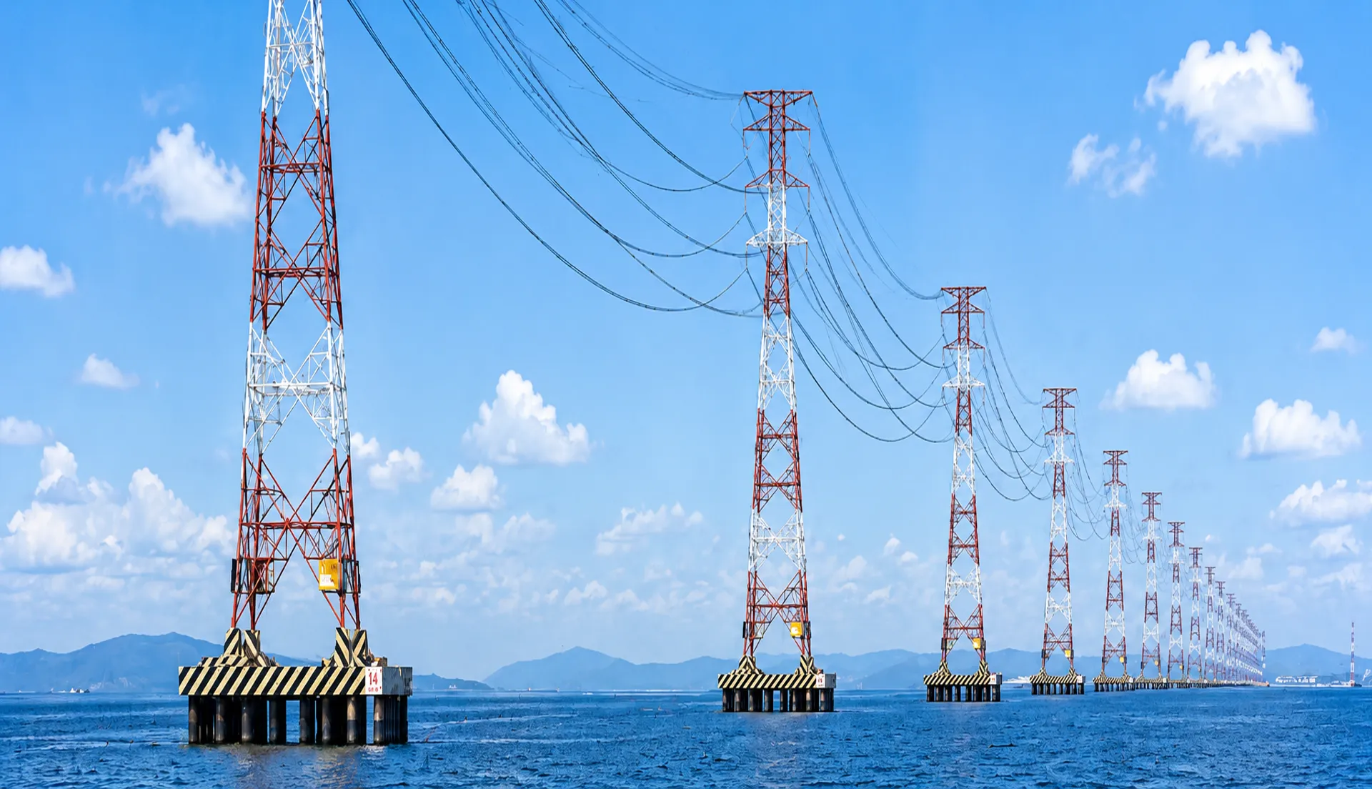
Projects on islands and routes connecting the mainland to islands pose specific requirements for transportation, logistics, positioning, seabed surveys, marine geological investigations and construction planning in rough seas and strong winds.
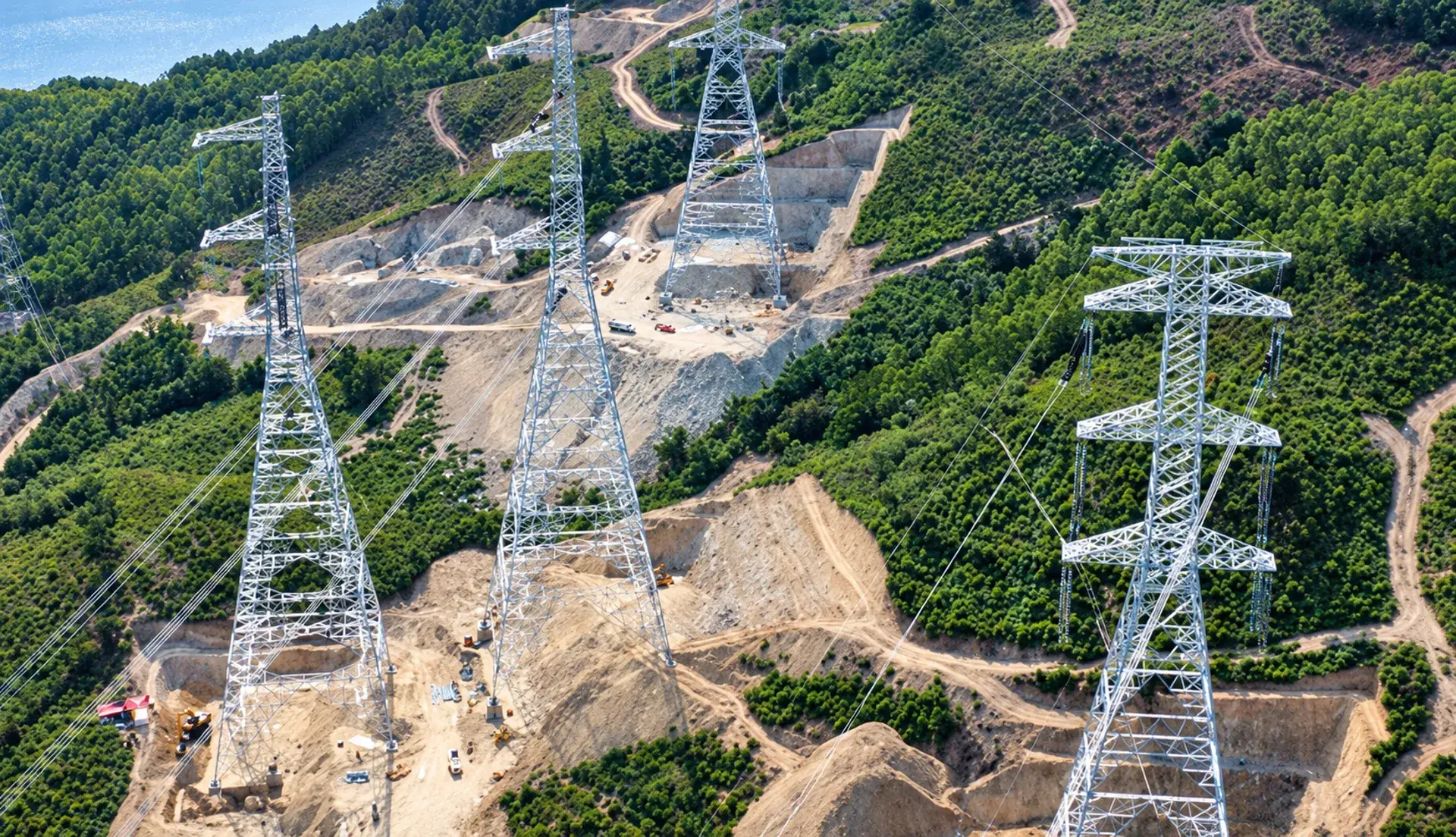
PSC’s linear infrastructure projects can extend over hundreds of kilometres, crossing multiple provinces and continuously transitioning between plains, rivers and lakes, wetlands, residential areas, forests and high mountains. Implementation requires the simultaneous deployment of multiple survey teams, consistent coordinate and elevation reference systems, and control of data consistency across the sections within its assigned scope.
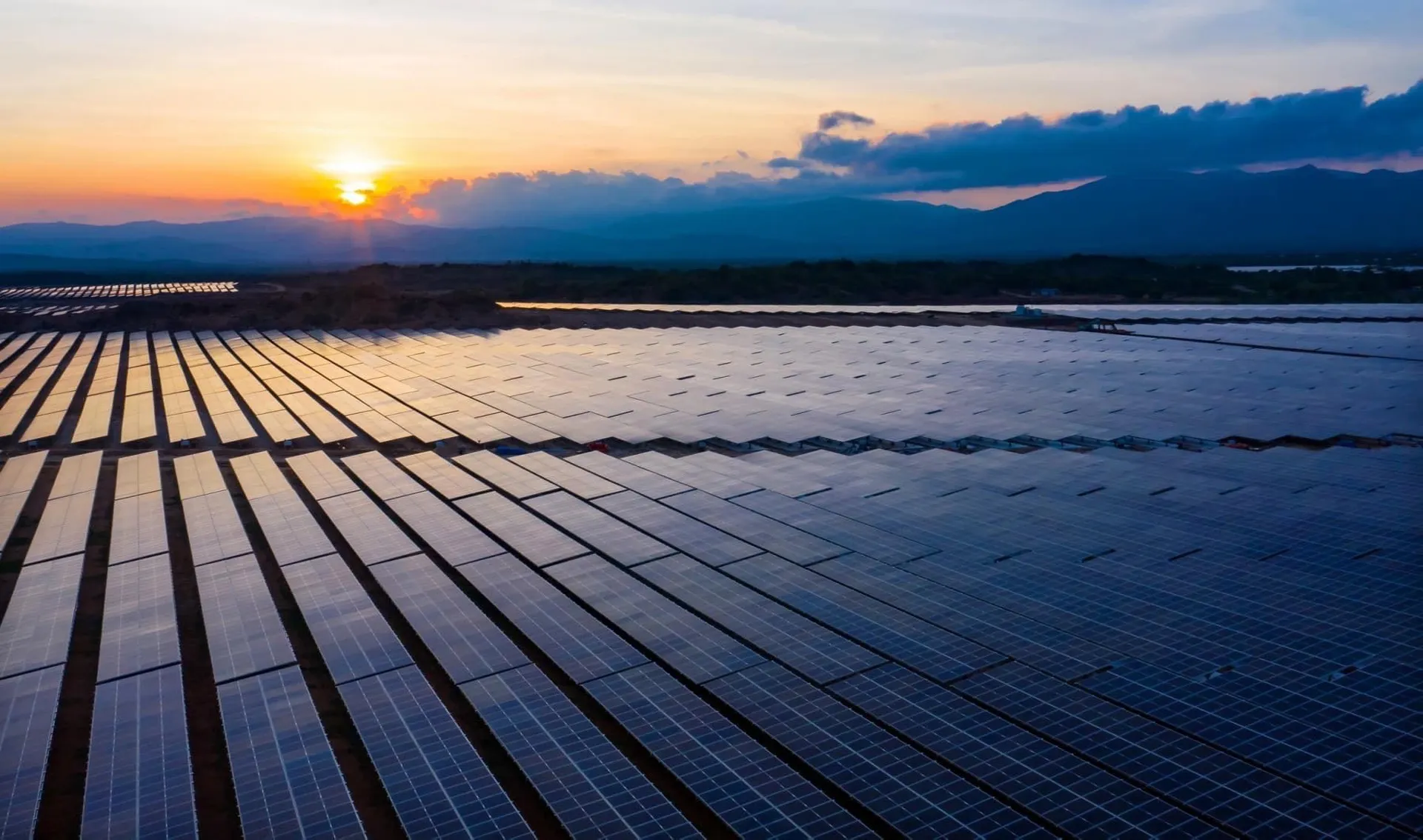
The narrow coastal strip of central Vietnam features mountains close to the sea, interspersed with river mouths, lagoons and sandy beaches, and is frequently affected by storms, floods, storm surges and erosion. Geological conditions vary rapidly, from exposed bedrock and heavily weathered rock in mountainous areas to sand and marine sediments along the coast.
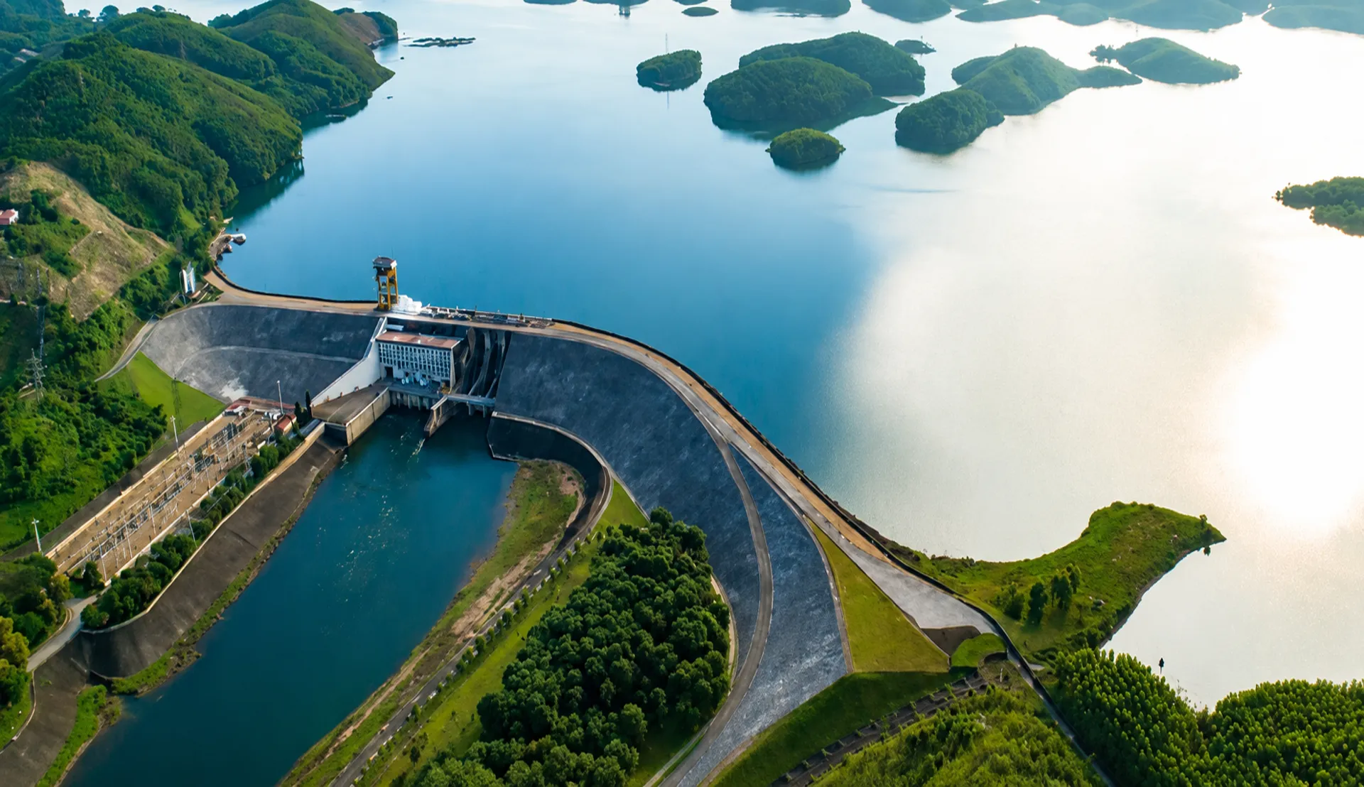
The terrain transitions from plains and midlands to high mountains, interspersed with extensive river and lake systems and deeply dissected landscapes. Geological conditions are diverse, ranging from lowland sediments to mountainous bedrock, with extensive weathering and complex geological structures in many areas.
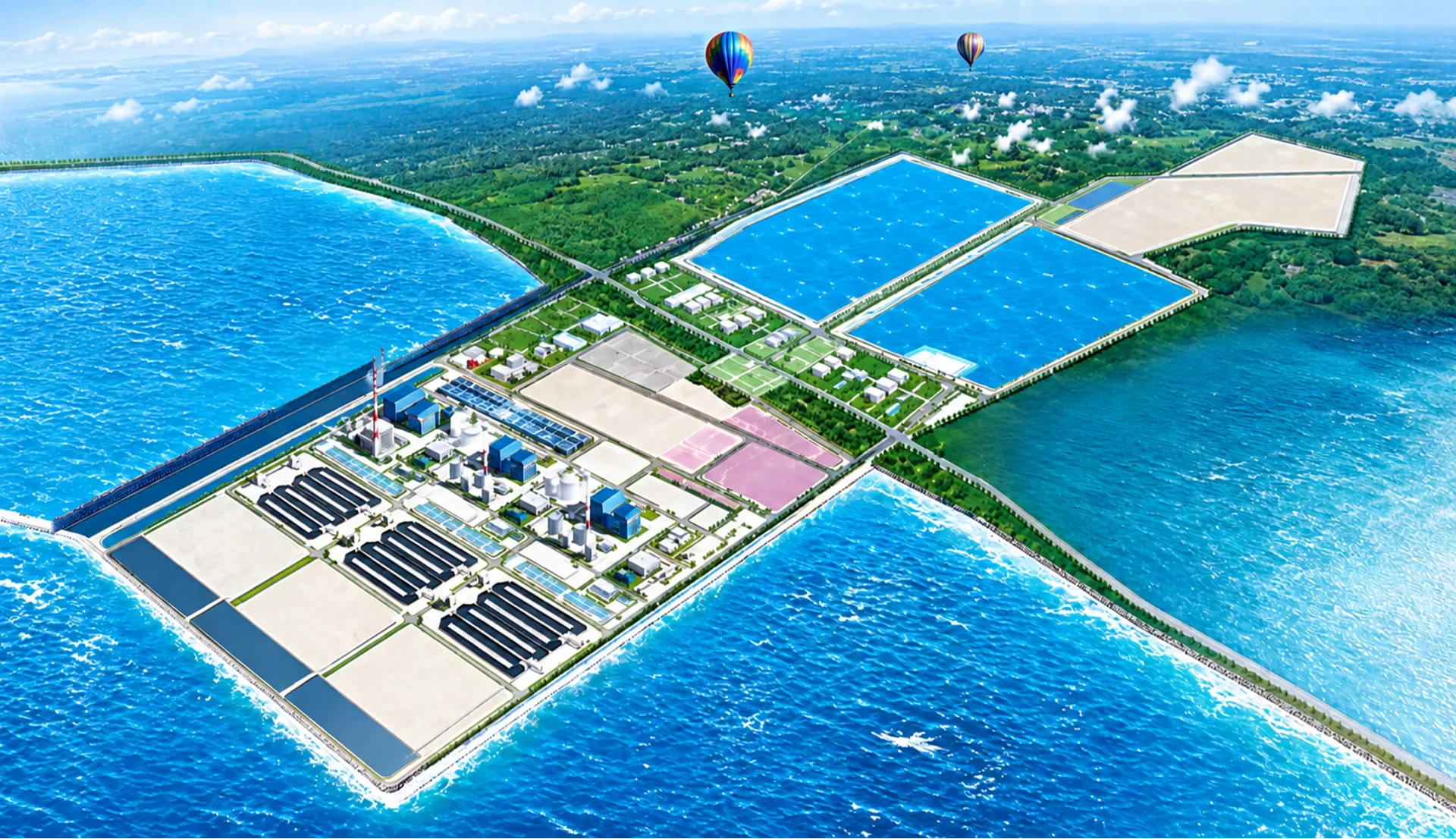
The terrain is low-lying and relatively flat, with a dense network of rivers and canals. Geological conditions are dominated by young sediments and soft soils, forming thick deposits in delta regions and influenced by groundwater and tides.
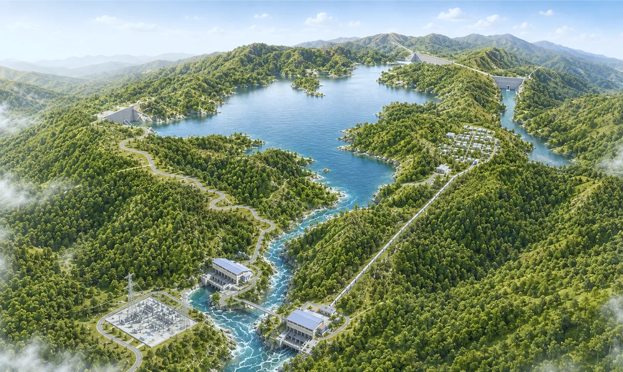
Drawing on experience gained from thousands of projects across complex terrain and geological conditions in Vietnam, PSC is confident in its capabilities, expertise and adaptability to undertake projects overseas.