Logo PSC Member of PECC2

Survey Data Legacy

PSC DATA LEGACY

ENGINEERING SURVEY DATA LEGACY

PSC survey data legacy resources

PSC’S LEGACY SURVEY DATA RESOURCES

Built up over more than four decades across over 1,000 projects, PSC’s survey data constitute a valuable technical asset.

This repository reflects PSC’s involvement in surveying a wide range of projects across diverse terrains, geological conditions and working environments in Vietnam and several countries in the region.

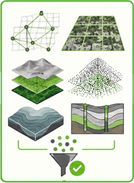
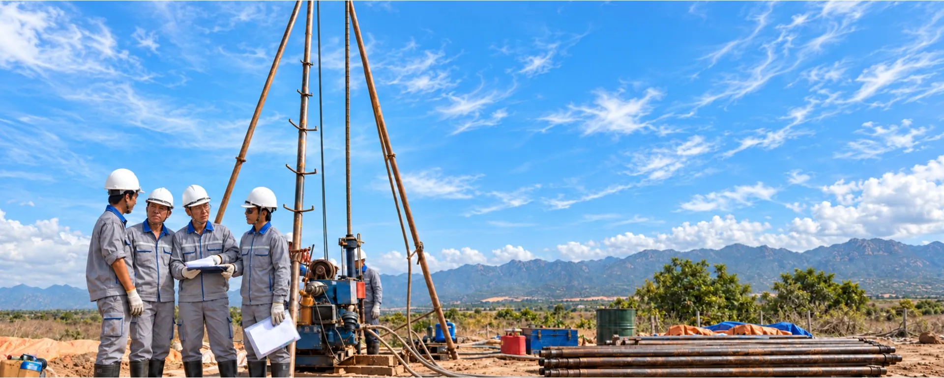
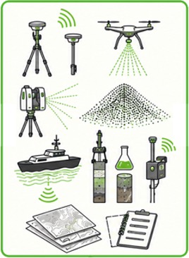
These resources include topographic, geological, geotechnical, hydrological, hydrographic, testing and monitoring records, as well as maps, coordinates, cross-sections, soil and rock samples, site photographs and specialized data processing results accumulated across successive generations of projects.

When appropriately reviewed, standardized and digitized, historical data provide an important reference for identifying natural conditions, assessing changes and supporting the development of new survey plans.

FROM HISTORICAL RECORDS TO DIGITAL DATA ASSETS

PSC aims to progressively inventory, classify, standardize, digitize and link survey data by project, location, time and discipline.

Suitable datasets are organized within GIS platforms, integrated survey databases and spatial models to support retrieval, analysis and controlled reuse.

Historical data must not replace surveys of current site conditions when legislation, technical standards or actual conditions require new surveys.

All data use, sharing and transfer are controlled in accordance with ownership rights, the scope of authorization, confidentiality requirements and the applicable rules for each project.

THE VALUE OF PSC’S DATA LEGACY

ACCUMULATED VALUE

01

BUILDING ON EXISTING SITE KNOWLEDGE

Provides reference information on terrain, geology, hydrology and access conditions recorded throughout successive project stages.

02

SUPPORTING SURVEY PLANNING

Helps identify survey priorities and select more suitable methods, equipment and survey scope.

03

TRACKING CHANGES OVER TIME

Enables comparison of data across different periods to identify changes in terrain, geology, riverbeds and the condition of structures.

04

REDUCING RISKS AND DUPLICATE SURVEYS

Historical data help identify complex areas, information gaps and matters requiring further verification at an early stage.

05

SUPPORTING DESIGN AND ASSET LIFECYCLE MANAGEMENT

Provides a data foundation for planning, design, construction, monitoring, operation, rehabilitation and expansion.

06

MAINTAINING DATA CONTINUITY

Data storage preserves project knowledge and minimizes information gaps across successive generations of personnel, technologies and records.

PSC data digitization

DATA DIGITIZATION – PSC ADVANCES IN LINE WITH GLOBAL TRENDS

DIGITAL TRANSFORMATION

Worldwide, the surveying industry is shifting from collecting data and documenting conditions at specific points in time to developing, managing and continuously updating spatial data assets. Data from GNSS, UAVs, LiDAR, 3D laser scanners, hydrographic surveys, monitoring systems and field sensors are increasingly integrated into GIS platforms and connected with BIM, artificial intelligence and digital twins.

In this transition, automation can support the processing of large datasets, the detection of changes and the prediction of risks. However, accuracy, data provenance and expert verification remain decisive. The future value of surveying therefore lies not only in modern equipment, but also in the ability to create structured, reliable data resources that can be traced, updated and reused throughout the entire asset lifecycle.

For PSC, digitization means transforming the experience and data accumulated over more than four decades into digital resources with lasting value. By progressively connecting field data with GIS, 3D models, BIM and digital twins, PSC aims to improve information quality, reduce technical risks and support decision-making for future projects.

Data processing and standardization

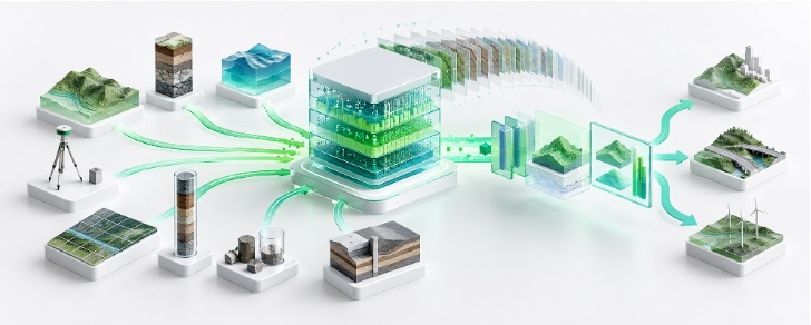
DATA PROCESSING, ANALYSIS, INTEGRATION AND STORAGE WORKFLOW

DATA GOVERNANCE

PSC aims to transform survey data from scattered records into structured digital resources that can be verified, retrieved and reused.

01

DATA PROCESSING AND STANDARDIZATION

Data from GNSS, UAVs, LiDAR, 3D laser scanners, hydrographic equipment, exploratory drilling, testing and monitoring are checked, corrected and standardized to meet each project’s coordinate system, elevation datum, data formats and technical requirements.

02

MULTISOURCE ANALYSIS AND INTEGRATION

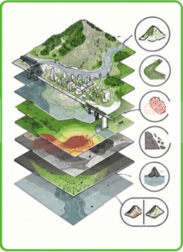
PSC combines topographic, geological, geotechnical, hydrological, hydrographic, testing, monitoring and existing asset condition data to provide a comprehensive view of the project area.

03

SURVEY DATABASE MANAGEMENT

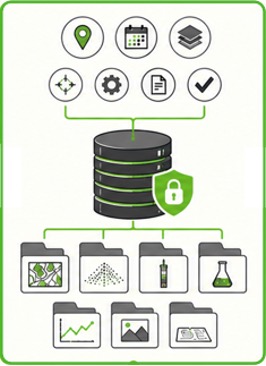
Data are organized by project, location, time, discipline and implementation stage. Each dataset includes its source, collection method, equipment, personnel, version and verification status to ensure traceability.

04

DATA STORAGE, SECURITY AND BACKUP

Data are stored in a consistent structure, with version management and role-based permissions. Backup, recovery, access control and usage history logging are applied according to the importance of each data type.

05

LEGACY DATA UTILIZATION

Historical data are reviewed, classified and progressively digitized for linkage with new survey data, preserving project knowledge, improving retrieval, supporting analysis of changes and building a data foundation for the entire asset lifecycle.

Integrated survey data platform

DIGITAL TECHNOLOGIES SUPPORTING SURVEYING AND REPORTING

TECHNOLOGY PLATFORM

These technologies help PSC progressively transform field survey data into structured digital data that can be integrated, analyzed, visualized and reused throughout the lifecycle of a facility. By combining survey data platforms with GIS, 3D reality capture technology and data standards supporting BIM, PSC provides reliable input data for design, construction, asset management and the development of Digital Twin systems.

INTEGRATED SURVEY DATA PLATFORM TECHNOLOGIES

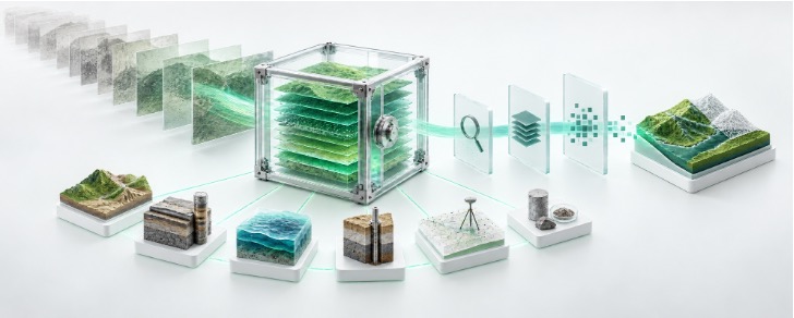
PSC uses spatial data management platforms, survey databases and common data environments to integrate, organize and manage survey results from multiple sources, transforming fragmented data into structured data assets that can be retrieved, controlled, updated and reused.

Data is managed by project, location, time, data type and facility element, forming a structured survey database that facilitates retrieval, verification, updating and reuse.

SPATIAL MAPPING AND ANALYSIS OF SURVEY DATA – GIS

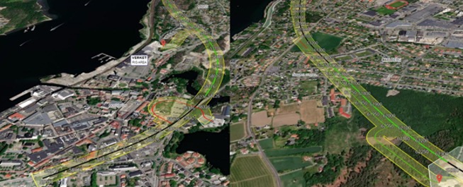
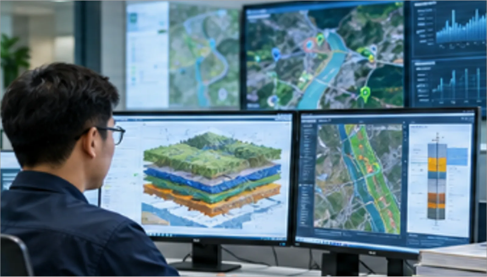
This software transforms survey data into spatial data that can be viewed, analyzed and used based on location. GIS links survey data to geographic locations, enabling the integration and visualization of data layers covering topography, geology, hydrology and the existing conditions of facilities and infrastructure.

Using survey data, PSC can develop digital maps, terrain models and spatial data layers to analyze existing conditions, assess site conditions and support decision-making.

3D REALITY CAPTURE AND DATA FOR BIM

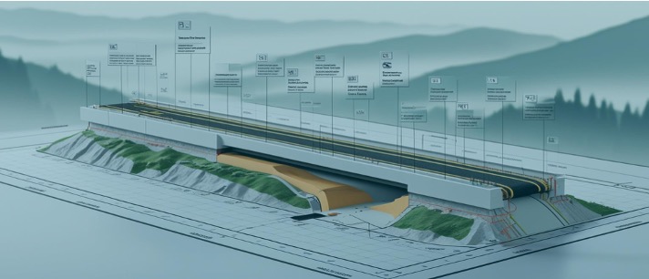
A group of technologies that provides reliable digital data on existing conditions, ready for integration into the project’s BIM environment.

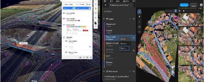
Using UAVs, LiDAR and 3D laser scanners, PSC captures existing facility and terrain conditions as point cloud data and 3D models.

Point clouds, DTM/DSM data and existing-condition models can be standardized, organized and delivered as input data for design consultants, BIM consultants or facility information management systems.

PSC focuses on producing accurate existing-condition data rather than replacing the role of BIM design consultants.

DIGITAL TWIN – SURVEY DATA FOR DIGITAL FACILITY MODELS

A group of technologies that creates a reliable field data layer, helping digital models more closely reflect actual facility conditions.

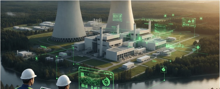
Digital Twins are developed on the foundation of digital facility data and the ability to update information from the physical world.

PSC can contribute to the Digital Twin ecosystem by surveying, capturing and updating existing-condition data using GNSS, UAVs, LiDAR, 3D laser scanners, bathymetric surveying and monitoring.

Survey data updated over time can provide information for creating, validating and updating digital facility models during design, construction, condition inspection and operation.