Logo PSC Member of PECC2

Engineering Surveys & Infrastructure Data

OVERVIEW

ENGINEERING SURVEYING AND INFRASTRUCTURE DATA

Engineering surveys and site investigations are a core capability of PSC. Building on more than four decades of experience, PSC has contributed to over 1,000 projects across Vietnam.

PSC serves as a long-term technical partner, providing accurate, consistent, and reliable data for project planning and preparation, design, construction, construction acceptance, operation, upgrading, and repair.

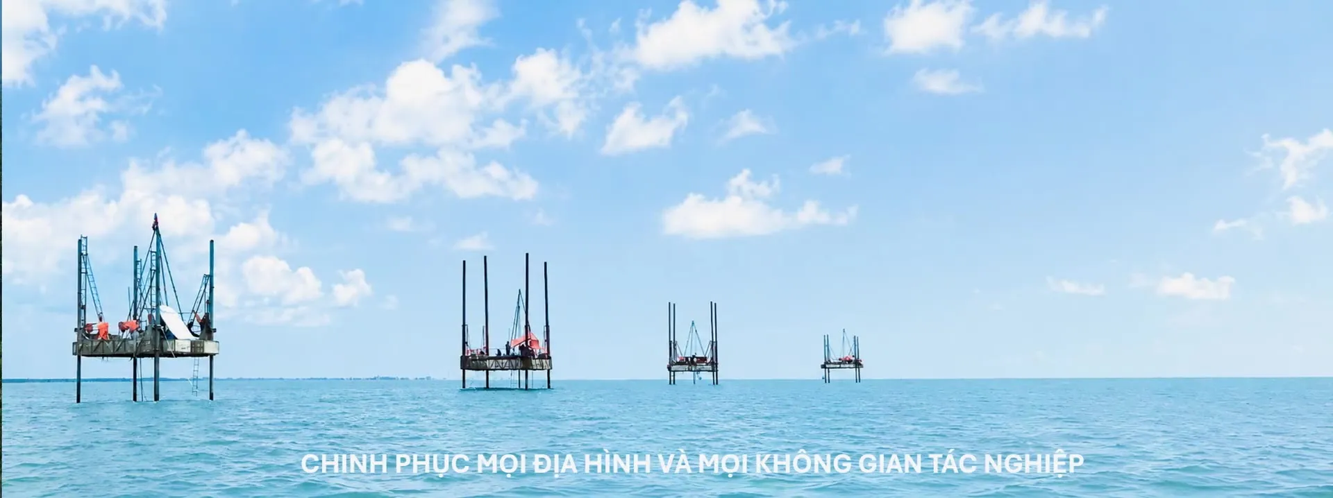
With an experienced engineering team, specialised equipment, modern technologies, and the ability to work across diverse terrains, PSC undertakes surveys and investigations for energy facilities, power transmission and distribution networks, industrial facilities, transportation infrastructure, urban developments, and technical infrastructure. Its field operations span plains, mountainous areas, inundated areas, rivers, lakes, estuaries, coastal areas, and offshore environments.

Survey and investigation data are systematically collected, analysed, and archived to support successive stages of project development. This structured data foundation can support digitalisation, AI applications, and the integration of advanced technologies, contributing to more efficient infrastructure design, construction, operation, and management.

VALUE DELIVERED TO PROJECTS

PSC’s survey and investigation data help characterise natural conditions and existing site conditions, enabling early identification of potential risks associated with terrain, geology, hydrology, and foundations. These findings provide project owners and engineering consultants with a sound technical basis for selecting suitable design options, optimising engineering solutions, controlling costs, and improving safety at each stage of a project.

PSC IS COMMITTED TO LONG-TERM PARTNERSHIPS WITH INFRASTRUCTURE PROJECTS, BUILT ON RESPONSIBILITY AND DISCIPLINE.

Unable to load video.
DETAILED SERVICE CATEGORIES

ENGINEERING SURVEYING AND INFRASTRUCTURE DATA

01

TOPOGRAPHIC SURVEYS

  • Onshore topographic surveys.
  • UAV and LiDAR topographic surveys.
  • Engineering surveying.
  • Topographic and cadastral mapping.
02

GEOLOGICAL SURVEYS

  • Engineering geological surveys.
  • Hydrogeological surveys.
  • Geological investigation drilling.
  • Soil, rock and groundwater sampling.
  • In-situ geotechnical testing.
03

GEOPHYSICAL SURVEYS

  • Engineering geophysical surveys.
  • Seismic surveys.
  • Electrical resistivity surveys.
  • Ground-penetrating radar (GPR) surveys.
  • Detection and location of underground utilities.
04

HYDROLOGICAL – OCEANOGRAPHIC SURVEYS

  • Hydrological surveys.
  • Oceanographic surveys.
  • Measurement of water levels, discharge and flow.
  • Measurement of waves, tides and longshore currents.
  • Sediment surveys and channel morphology studies.
05

MARINE SURVEYS

  • Seabed topographic surveys.
  • Marine geological surveys.
  • Submarine cable route surveys.
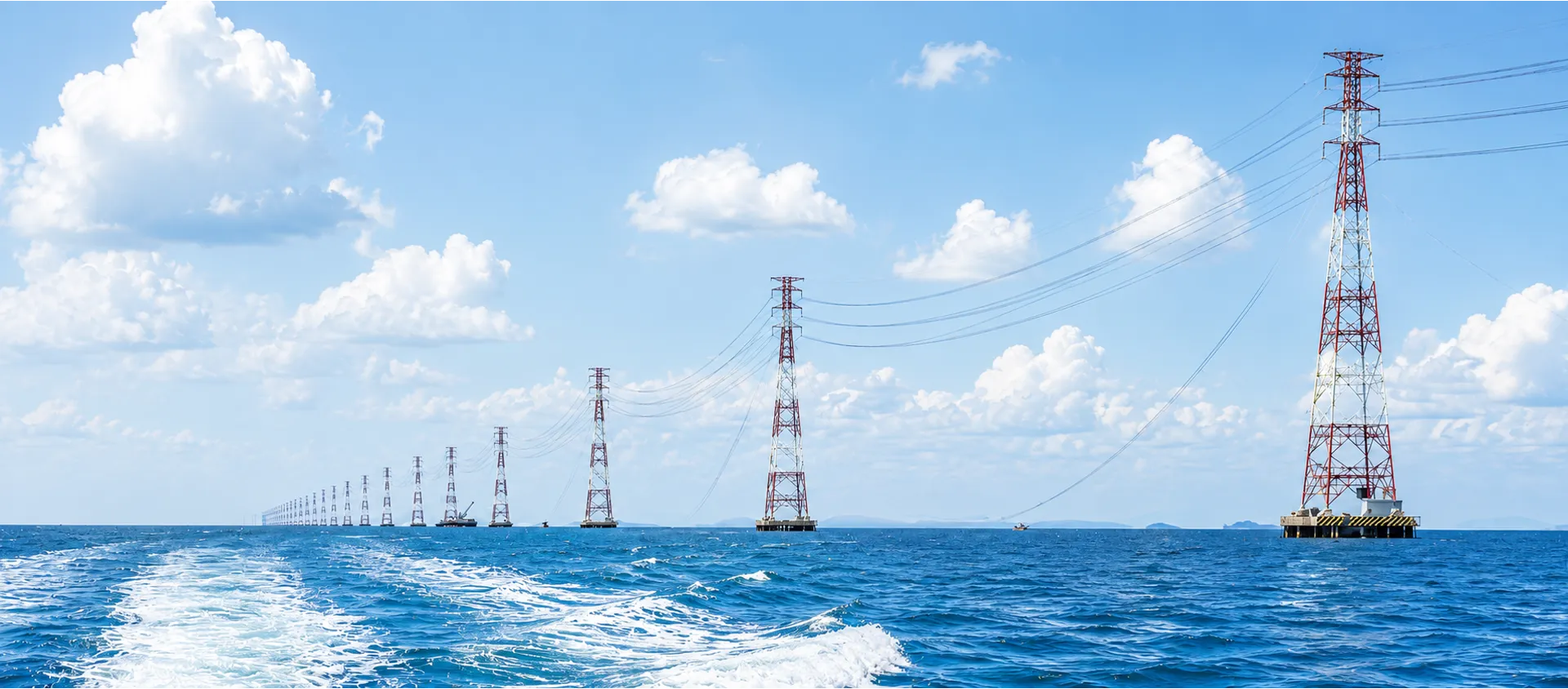
  • Surveys for overhead sea-crossing transmission lines.
  • Port and navigation channel surveys.
  • Surveys for coastal and offshore structures.
06

UNDERGROUND WORKS SURVEYS

  • Surveys for tunnels and underground structures.
  • Surveys for pipelines and underground utility corridors.
  • Surveys for deep excavations and diaphragm walls.
07

METEOROLOGICAL SURVEYS

  • Meteorological surveys.
  • Wind measurement.
  • Solar irradiance measurement.
  • Temperature and humidity measurement.
  • Rainfall measurement.
  • Collection and analysis of climate data.
08

SURVEYING AND DATA DIGITALISATION

  • GNSS/GPS surveying.
  • Survey data processing.
  • GIS database development.
  • Digital terrain and surface models (DTM/DSM).
  • Survey data management for BIM and Digital Twin applications.
Contact us about this service

PSC CONQUERS EVERY COMPLEX TERRAIN AND OPERATIONAL ENVIRONMENT

DENSE FORESTS – HIGH MOUNTAINS – PLAINS – SOFT GROUND – ABOVE GROUND – BELOW GROUND – ABOVE WATER – BELOW WATER – DENSELY BUILT URBAN AREAS

In challenging terrain and specialized environments, modern equipment and technology provide an important foundation, but they are not the only factors determining project execution efficiency. In remote, rugged or inaccessible areas where large-scale machinery cannot be deployed, PSC’s local knowledge, practical experience and the ingenuity of its teams become distinct advantages.

Through flexible field operations, tailored technical approaches and the effective mobilization of appropriate resources, PSC consistently develops feasible, efficient and safe solutions for every assignment.

This capability has been cultivated and passed down through generations, including periods when Vietnam faced significant challenges and equipment was rudimentary. Even under such conditions, PSC’s people continued to innovate and find ways to fulfill their missions. This enduring ability to adapt and innovate is one of PSC’s distinctive competitive strengths.

PSC has the capability to organize, integrate and mobilize personnel, experts, technologies, equipment and suitable partners in a coordinated manner, tailored to the scale, schedule and complexity of each project.

Terrain details

PSC SERVICES FOR LONG-TERM PARTNERSHIP THROUGHOUT THE PROJECT LIFECYCLE

RELIABLE DATA – FIT-FOR-PURPOSE SOLUTIONS – RESPONSIBLE PARTNERSHIP

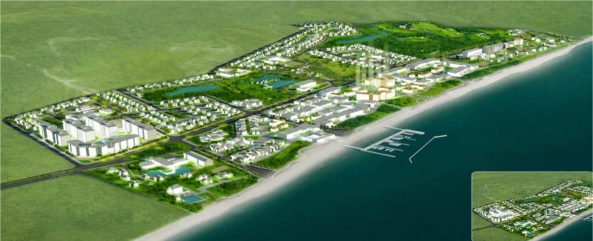
MASTER PLANNING AND PROJECT DEVELOPMENT

At the project inception stage, PSC supports the collection and development of baseline databases covering topography, geology, hydrology, oceanography, existing infrastructure conditions, site accessibility and other relevant natural factors.

These data support opportunity identification, site screening, comparison of potential locations and preliminary assessment of project development conditions.

PSC SERVICES

  • Collection, review and systematization of existing data.
  • Preliminary reconnaissance of proposed project development areas.
  • Topographic surveys and development of initial spatial datasets.
  • Preliminary identification of geological, hydrological and natural environmental conditions.
  • Assessment of site accessibility, survey arrangements and resource mobilization.
  • Support for the comparison of potential sites or route corridors.
  • Identification of areas requiring detailed surveys in subsequent project stages.
  • Proposal of survey programs tailored to the type and scale of the project.

Value deliveredProvides a systematic baseline database that enables project owners to identify potential adverse conditions at an early stage and define the scope of subsequent investigations.

SELECTED PROJECTS

  • · Hydropower Development Master Plan for the Dong Nai River System.
  • · Revised Hydropower Development Master Plan for the Dong Nai River System.
  • · Hydropower Development Master Plan for the Be River Basin.
  • · Hydropower Development Master Plan for the La Nga River Basin.
  • · Hydropower Cascade Development Master Plan for the Srepok River System.
  • · Hydropower Development Master Plan for Prek Ter and Prek Chhlong, Cambodia.
  • · Hydropower Development Master Plan for the Tra Khuc River Basin.
  • · Phu My Power Complex Master Plan.
  • · O Mon Power Complex Master Plan.
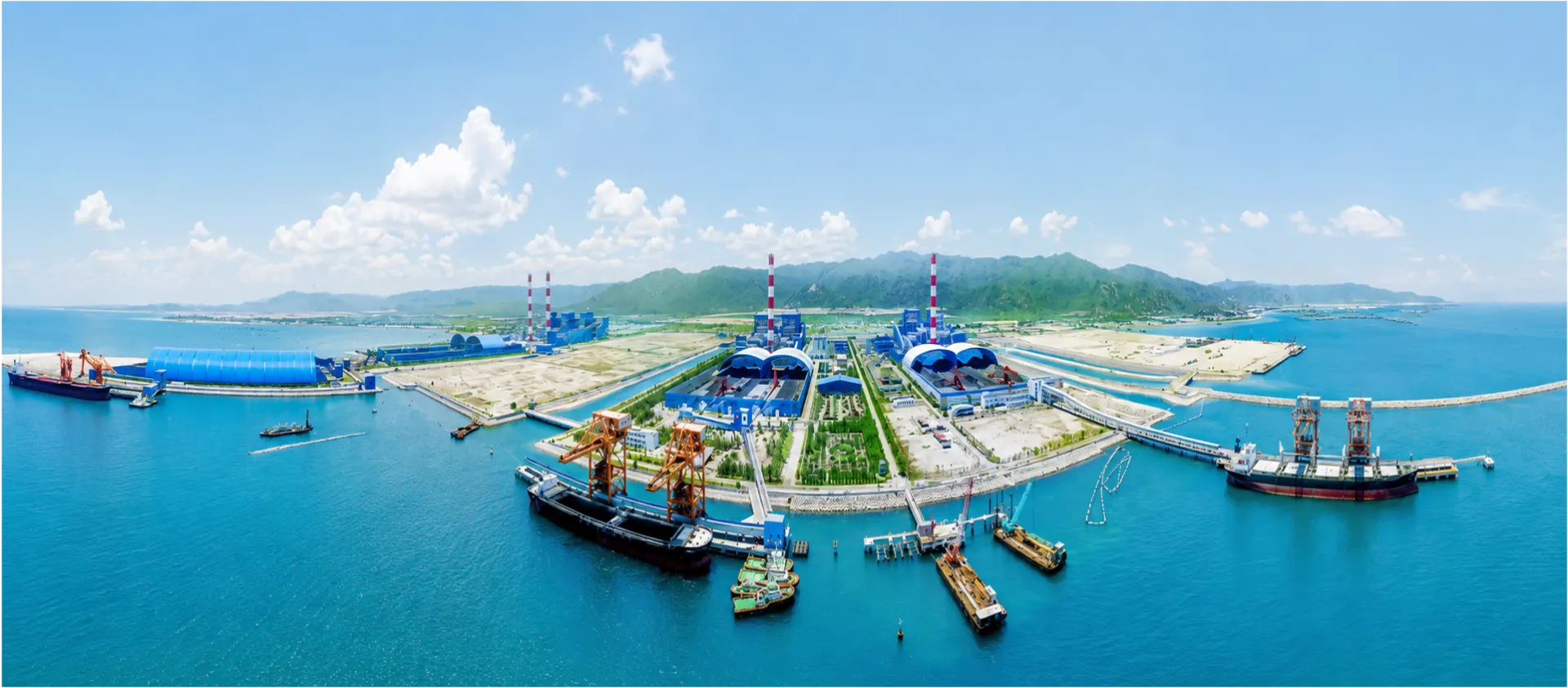
  • · Vinh Tan Power Complex Master Plan.
  • · Duyen Hai Power Complex Master Plan.
  • · Tan Phuoc Power Complex Master Plan.
  • · Dung Quat Power Complex Master Plan.
  • · Rural Electrification Master Plan for Southern Vietnam.
  • · National Power Development Master Plan I.
  • · National Power Development Master Plan II.
  • · National Power Development Master Plan III.
  • · National Power Development Master Plan IV.
  • · National Power Development Master Plan V.

FEATURED PROJECTS

PIONEERING – STRATEGICALLY IMPORTANT – TECHNICALLY DEMANDING – LARGE-SCALE – COMPLEX OPERATING CONDITIONS

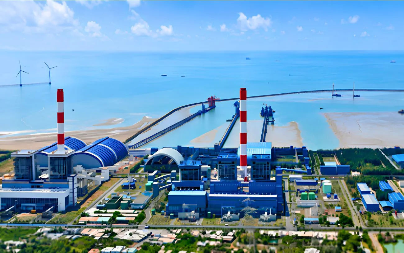
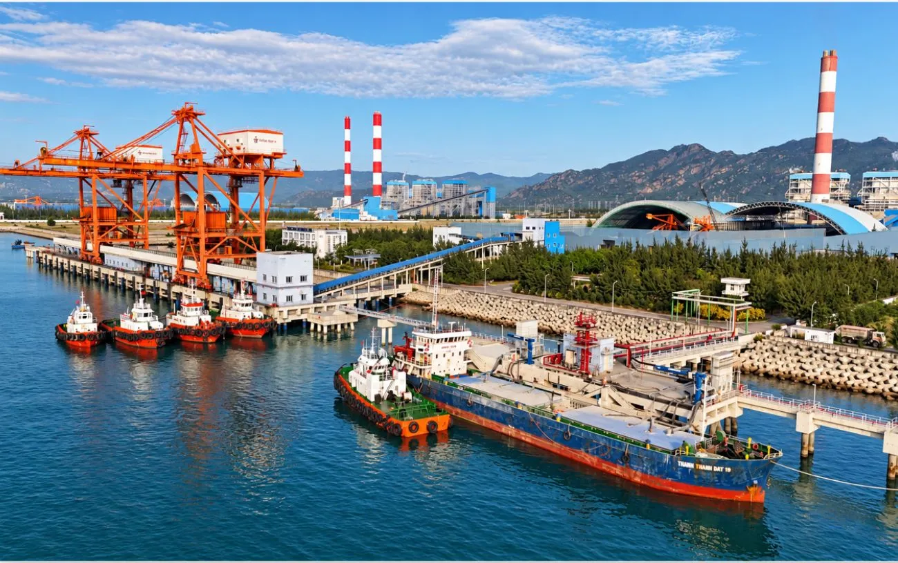
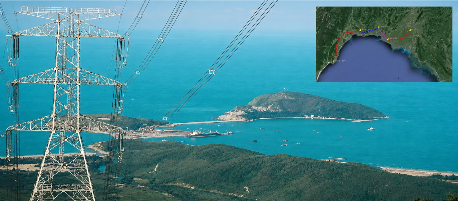
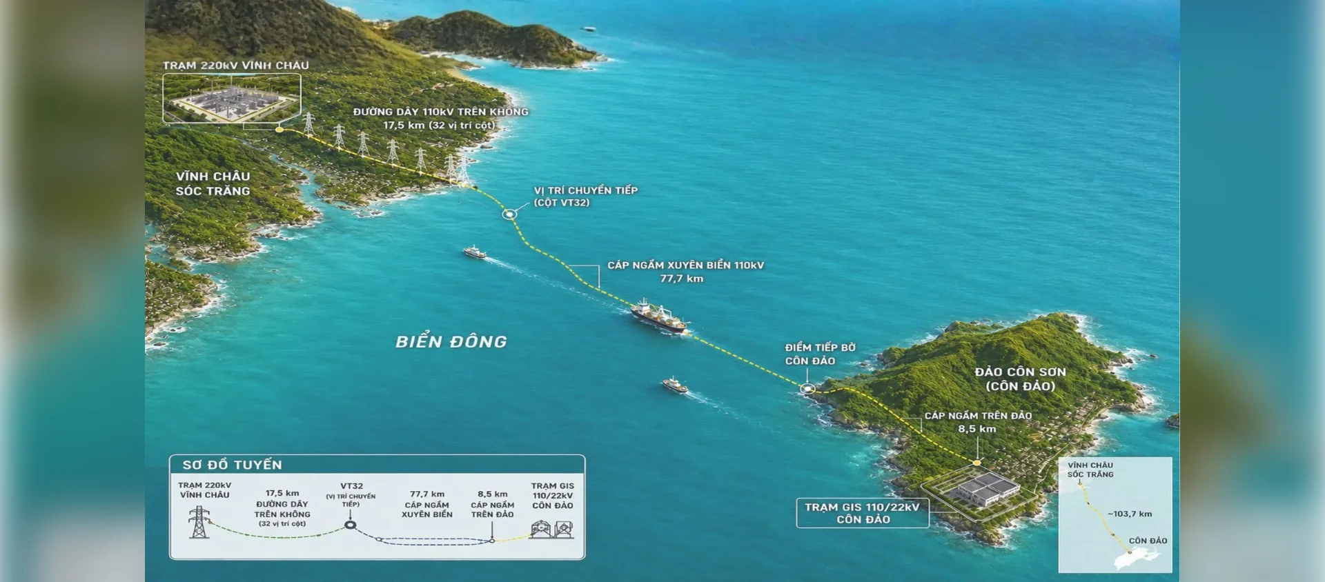
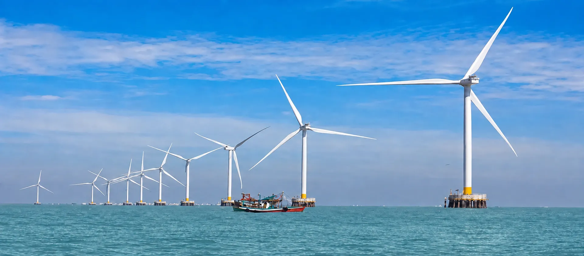
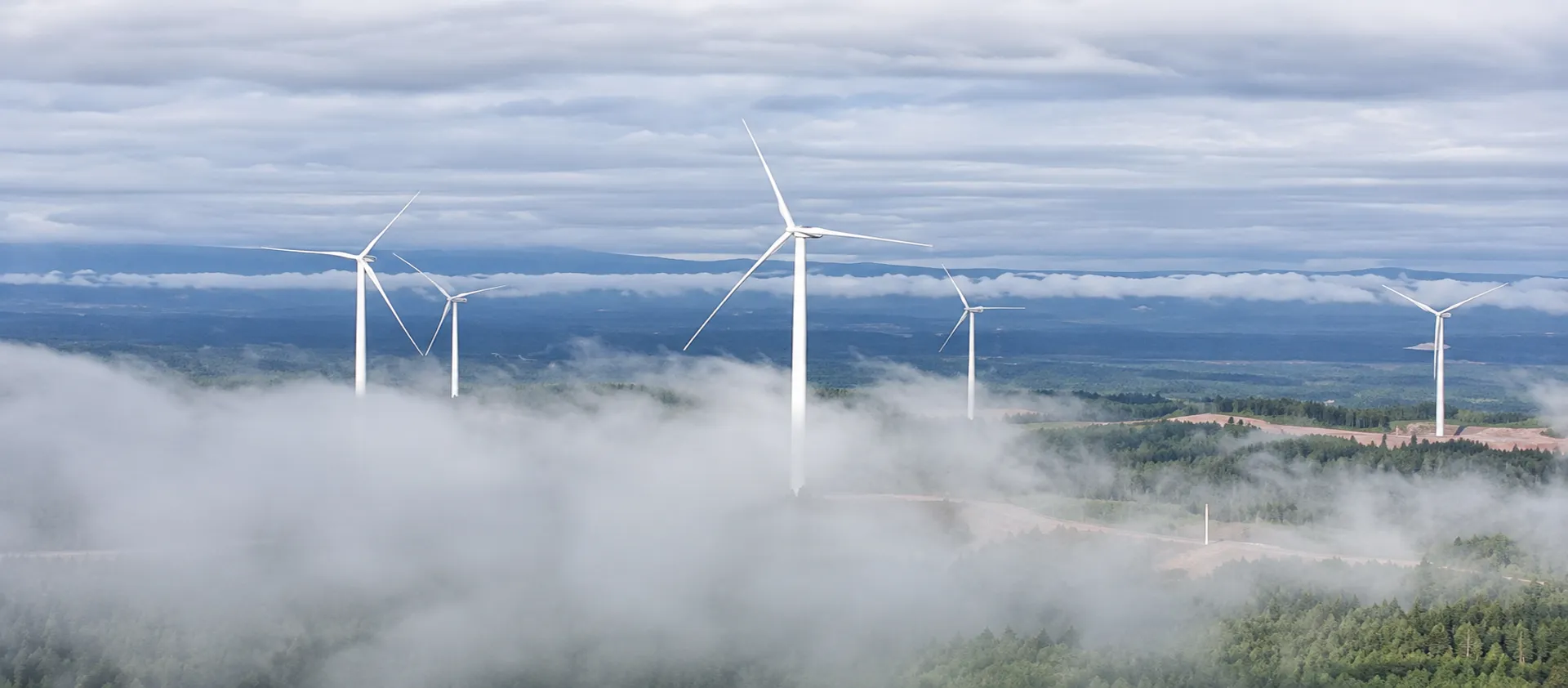
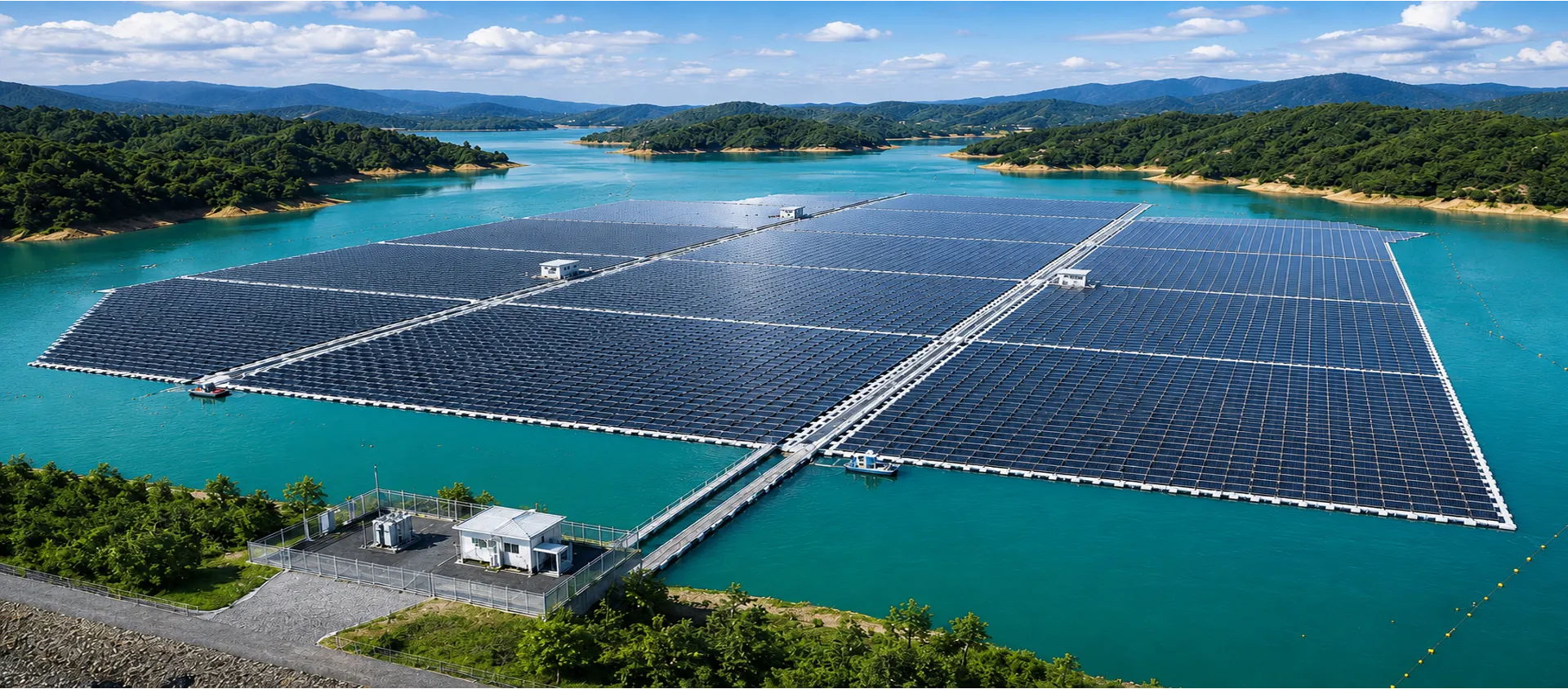
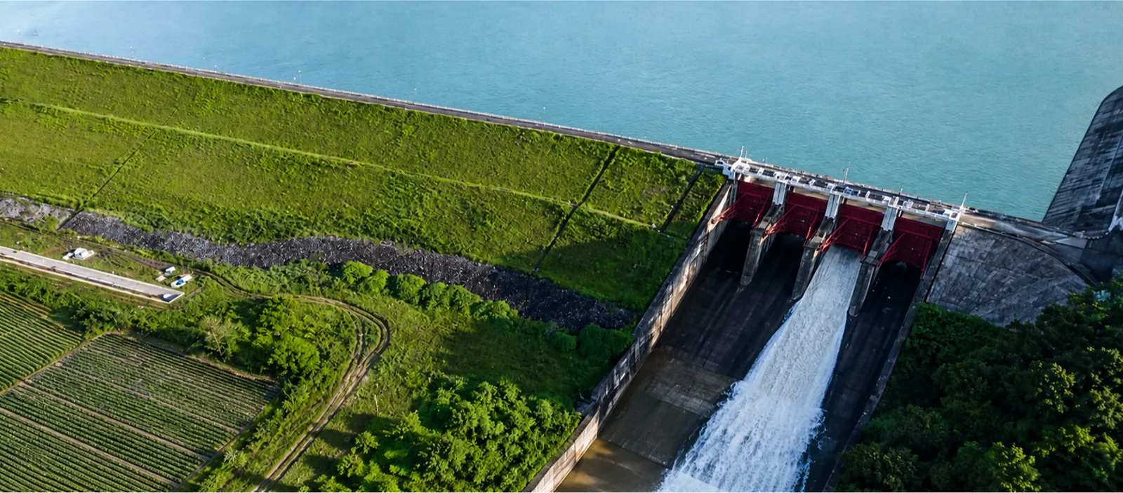
DAI NINH HYDROPOWER PLANTNINH THUAN 1 NUCLEAR POWER PLANTDONG NAI 3 & 4 HYDROPOWER COMPLEXVINH TAN POWER COMPLEXNHON TRACH 3 & 4 THERMAL POWER PLANTSQUANG TRACH – PHO NOI 500 kV TRANSMISSION LINE110 kV TRANSMISSION LINE SUPPLYING POWER TO CON DAO ISLANDNAM PHAK HYDROPOWER PROJECT – LAOSTECHO INTERNATIONAL AIRPORT – CAMBODIATHANH PHU WIND POWER PROJECT – BEN TRECU NE I–II AND KRONG BUK I–II WIND POWER COMPLEXIA LY FLOATING SOLAR POWER PROJECT – GIA LAILOC NINH 1, 2 & 3 GROUND-MOUNTED SOLAR POWER PLANTSHAM THUAN–DA MI HYDROPOWER COMPLEXKIEN BINH–PHU QUOC 220 kV SUBMARINE TRANSMISSION LINE

01 / 15 · FUTURE ENERGY

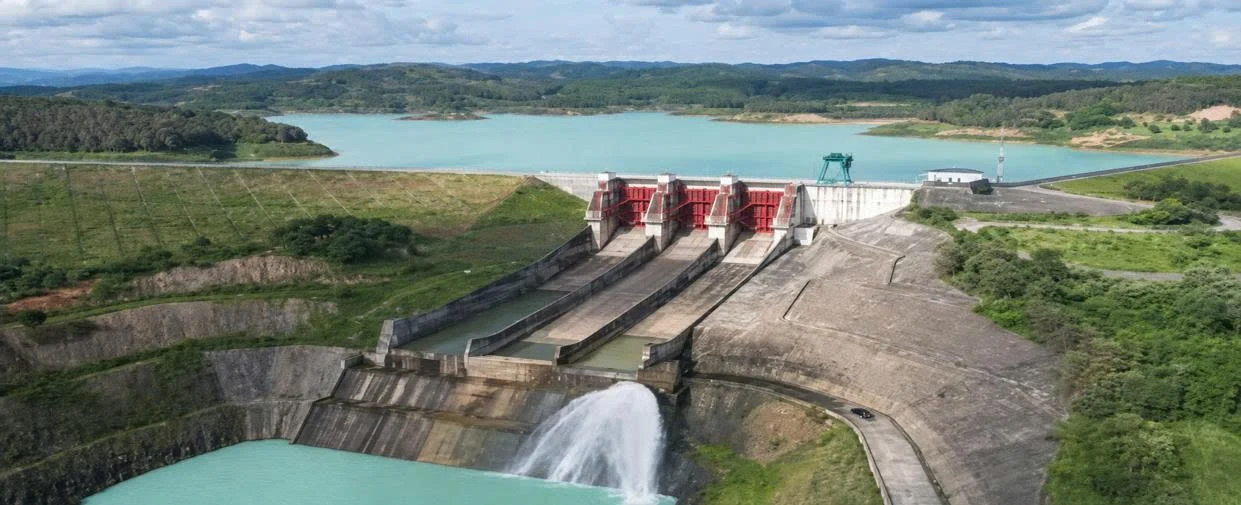
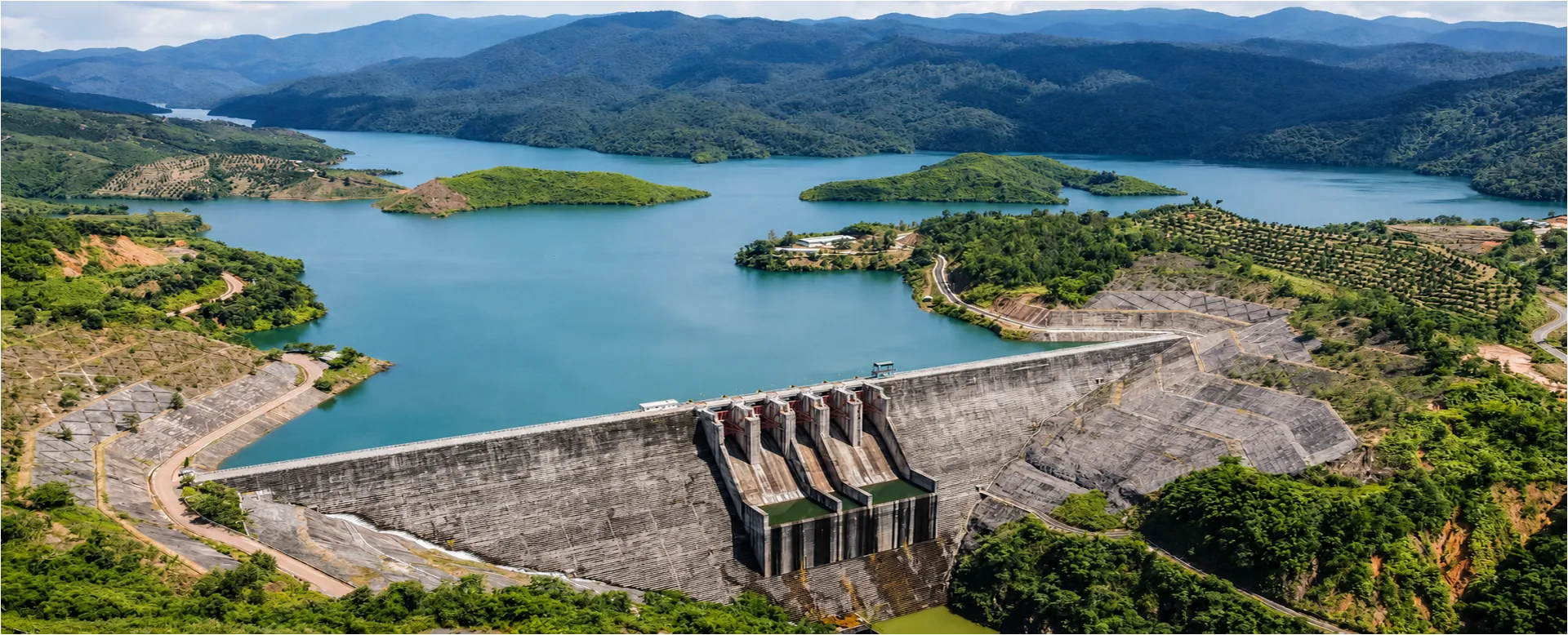
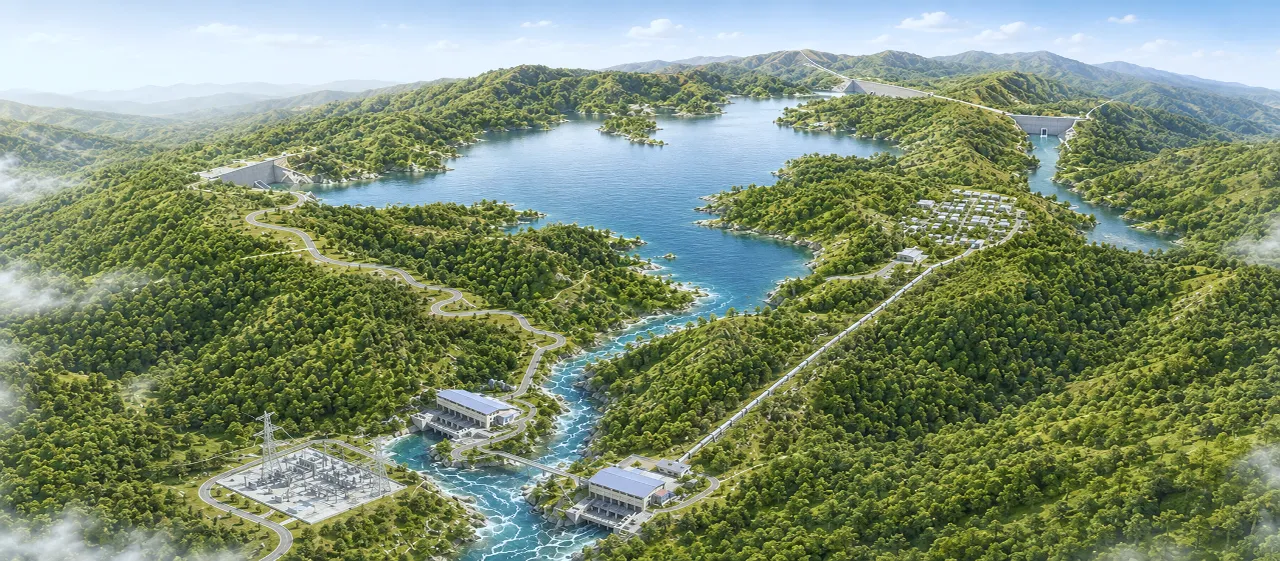
DAI NINH HYDROPOWER PLANT

LARGE-SCALE UNDERGROUND WORKS – HIGH HYDRAULIC HEAD

CAPACITY
300 MW
2 generating units × 150 MW each.
EARTH-ROCKFILL DAM
~60 m
Approximately 60 m high.
DESIGN HEAD
~627 m
Among the highest hydraulic heads in Vietnam.
WATER CONVEYANCE TUNNEL
~11 km
Constructed using drill-and-blast methods and a tunnel boring machine (TBM).

FAQ

Frequently asked questions

Engineering Surveys & Infrastructure Data

What types of surveys does PSC provide?

PSC carries out topographic, geological, geophysical, hydrological and oceanographic, marine, underground works and meteorological surveys, as well as surveying and data digitisation.

Which project stages does PSC survey data support?

PSC data supports planning, studies, design, construction, construction acceptance, operation, upgrading and repair. Data is collected, analysed and archived for each project so it can be used throughout the project life cycle.

What kinds of projects does PSC survey?

PSC surveys energy facilities, power transmission and distribution networks, industrial facilities, transportation infrastructure, urban developments and technical infrastructure.

Can PSC survey difficult terrain, rivers and offshore sites?

Yes. PSC works across plains, mountainous areas, inundated areas, rivers, lakes, estuaries, coastal areas and offshore environments, with an experienced engineering team and specialised equipment.

How much survey experience does PSC have?

PSC was founded in 1981 and has more than four decades of engineering survey experience, contributing to over 1,000 projects across Vietnam.

OTHER CORE SERVICE AREAS

SERVICES DEDICATED TO ENSURING EFFICIENT, SUSTAINABLE AND SAFE INFRASTRUCTURE OPERATIONS

TESTING – INSPECTION – MONITORING

In-situ testing, laboratory testing, quality inspection and structural monitoring.

Read more

SPECIALIST SUPERVISION AND CONSULTANCY

Specialized engineering consultancy and supervision services in surveying, geotechnical engineering and infrastructure.

Read more

GEOTECHNICAL CONSTRUCTION & FOUNDATION TREATMENT

Geotechnical works and foundation treatment and reinforcement solutions tailored to site-specific geological conditions.

Read more